

Polinikhütte – Launsberg-Trail
Description
The ride starts in the Mölltal valley near Obervellach. From there, the route begins with a few meters on asphalt and then continues on gravel toward the Polinikhütte at just under 1,900 meters above sea level. The climb follows a classic forest road, which, particularly to the north, features open sections due to logging operations, offering excellent visibility and a wonderful panoramic view. Even during the climb, you can see the trail shortcuts that will later serve as the descent.
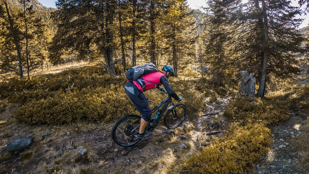
Once you arrive at the Polinikhütte, a mountain hut operated by the Mölltal section of the Austrian Alpine Club, it’s a great time to take a break and enjoy the magnificent mountain scenery. Then the descent begins. To warm up the brakes, the first 50 units of elevation loss are covered on gravel. You then join the trail, which takes riders down a very long, varied, idyllic, and mystical route rated S2 and S2+. In classic style, you wind your way downhill through coniferous forests over forest floor and roots.
You eventually cross back over the uphill section toward the Launsberg Hut, where you could theoretically stop for another break. Afterward, you take the official Launsberg Trail—which has a similar difficulty level to the previous section but features man-made elements—all the way back to Obervellach. Due to the north-facing orientation of the uphill section, this tour is particularly well-suited for the summer months.
Note: The route is located on Austrian territory and leads over routes that are not approved for mountain bikers. Riding this route on a mountain bike is the responsibility of each individual, in full awareness of the legal situation.
Map & GPX-Track
The map is only available to Ride subscribers.
The Ride-Subscription is available at ride-mtb.com/abo
.
Details of the tour
18 km
1270 m
1270 m
667 above sea level
1862 above sea level
1 day
Obervellach
Obervellach
3684
well suited
More information
User comments (0)

About the author: Martin Depauli
Note: This content has been automatically translated from German. Please report any incorrect translations.