

Rädermacher – Hochmahdkopf
Description
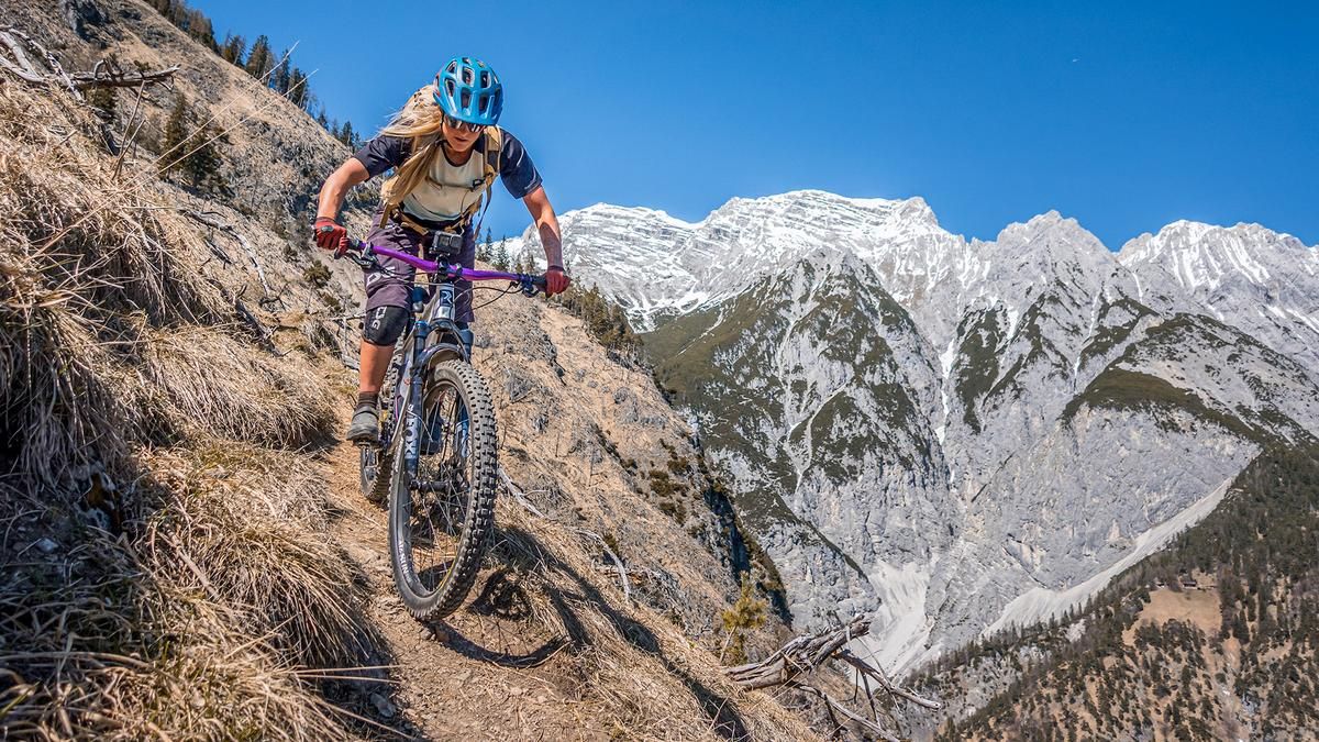
The ride starts right in the old town of Hall in Tirol. From there, you pedal through Absam on side streets toward Sportplatzweg and take the southern ascent through wooded terrain to the end of the forest road and the Rodelhütte. Then you’ll have to carry your mountain bike on your back for just under 500 meters of elevation gain up to the Rädermacher. Even during the uphill section, it becomes clear that the descent is primarily at the S3 and S4 difficulty levels and features extremely exposed sections.
Once you arrive at the Rädermacher, you’ll be treated to a magnificent view of the Inn Valley. The continued ascent to the Hochmahdkopf takes the riding challenge up a notch and includes several sections where you’ll need to push your bike. Depending on your fitness level and preference, this section can be added to the route.
The descent follows the same route as the ascent. Tight hairpin turns, extremely steep sections, high steps, root-covered sections, and loose gravel demand your full concentration. Mastery of the hairpin turn technique, as well as confidence on S3 and S4 sections, are absolutely essential to fully enjoy the trail until it joins the forest road. In the area of the forest road—specifically the lower section—the route becomes significantly less challenging than the upper part, with S1 and S2 difficulty levels. It passes by the sports complex and finally runs along the Weissenbach back to the old town of Hall in Tirol.
Note: The route is located on Austrian territory and leads over routes that are not approved for mountain bikers. Riding this route on a mountain bike is the responsibility of each individual, in full awareness of the legal situation.
Map & GPX-Track
The map is only available to Ride subscribers.
The Ride-Subscription is available at ride-mtb.com/abo
.
Details of the tour
16 km
850 m
850 m
562 above sea level
1433 above sea level
1 day
Hall in Tirol
Hall in Tirol
3705
not suitable
More information
User comments (0)

About the author: Martin Depauli
Note: This content has been automatically translated from German. Please report any incorrect translations.