

Tête des Arpettes
Description
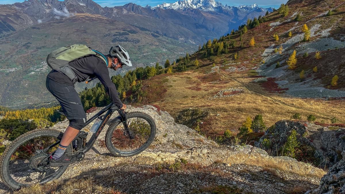
Starting in the village of Aime, you cross the Isère and immediately ride uphill to Mâcot-la-Plagne and on to Sangot. From here, you follow a mountain road on which you gain altitude, passing several farms and taking one hairpin bend after another. At the hamlet of Les Praizes-Dessous, keep left, pass under several chairlifts of the Montchavin-Les Coches ski area and ride slightly downhill into a side valley. Following the road, the asphalt section ends at Pra Premier, where you keep to the right and quickly ascend on the increasingly steep gravel road. The ski area's access roads ride up to the pass below the Tête des Arpettes. If you want to reach the actual summit, leave your bike at the pass and tackle the 50 meters of ascent on foot. The view of Mont Blanc is impressive and also accompanies you on the first part of the descent from the Col du Seuchet. With a slight gradient, this flow trail runs along the western side of the Tête des Arpettes, becomes somewhat steeper in the sparse forest and then follows a series of easy hairpin bends. The terrain then becomes steeper and steeper and the singletrail takes on a different, significantly more challenging character. Partly wild and constantly steep, it rides along the Ruisseau de la Salla stream, interrupted by short, flatter sections along the slope. After one of these crossings, you meet the local mountain bike route "Dre Val" and follow it to the entrance of the village of Sangot, which is familiar from the ascent. However, keep slightly to the right and ride down to the Isère via meadow and forest paths. Following the course of the river down the valley, you reach the bridge to Aime and then the starting point.
Map & GPX-Track
The map is only available to Ride subscribers.
The Ride-Subscription is available at ride-mtb.com/abo
.
Details of the tour
37 km
1760 m
1760 m
662 above sea level
2344 above sea level
1 day
Aime
Aime
2593
well suited
User comments (0)

About the author: Jonas Spöring
Note: This content has been automatically translated from German. Please report any incorrect translations.