

Almaholten
Description
The starting point is the stores in Kaupanger, where there is good parking. From here, it's straight into the first ascent, initially on asphalt, then on gravel and finally a section of trail. This is steep at first, but then flattens out and is easy to ride uphill. Finally, you find yourself on a gravel road and tackle the last few meters of ascent on this until you reach the culmination point at an idyllic forest clearing.
The first descent is crisp at first, especially in damp conditions. The first trail is peppered with lots of roots. The longer you ride, the more flowy it becomes. Finally, you pass the main road and then continue on a trail until you reach the starting point of the second ascent at a fork in the road. This rides on asphalt to a parking lot, where you turn off to the right onto a gravel road a little later. This initially climbs moderately, but then becomes steeper and steeper and finally turns into a single track, which you follow up to the Almaholten summit. There is a great view down to the fjord through a forest clearing.
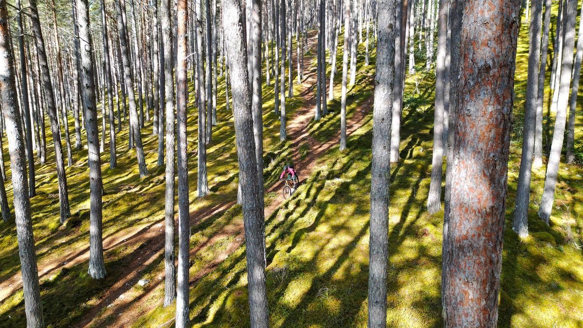
The summit is the starting point of the second descent. This super trail rides smoothly through the mossy forest and ends just above the parking lot, which you know from the ascent. There is now another short gravel road ascent to reach the final trail (otherwise you would have to descend on the asphalt road). The final section is a high-speed single trail with no difficulties worth mentioning but a high fun factor. You reach the junction where you started the ascent. You roll down a short stretch to the shore of the fjord before cranking back up to Kaupanger on a small road.
Map & GPX-Track
The map is only available to Ride subscribers.
The Ride-Subscription is available at ride-mtb.com/abo
.
Details of the tour
24 km
1230 m
1230 m
0 above sea level
666 above sea level
1 day
Kaupanger
Kaupanger
2894
well suited
More information
More tours nearby
User comments (0)

About the author: Thomas Giger
Note: This content has been automatically translated from German. Please report any incorrect translations.