

Grosser Speikkogel – Nord
Description
The route starts in St. Johann near Wolfsberg. From here, you pedal up the asphalted pass road to the Rieding Koralpe church. Here you already have some views towards Sankt Andrä, the Lavanttal valley and the Klagenfurt basin. In the same manner, the route then climbs up a few hairpin bends, passing the Burgstallofen parking lot at Warscheck until you reach the Koralpe valley station. It doesn't end here, but you are now above the tree line and can almost reach the summit of the Großes Speikkogel with a good panoramic view. The last few meters have to be mastered by pushing and you reach the highest point of the tour (2140 meters above sea level).
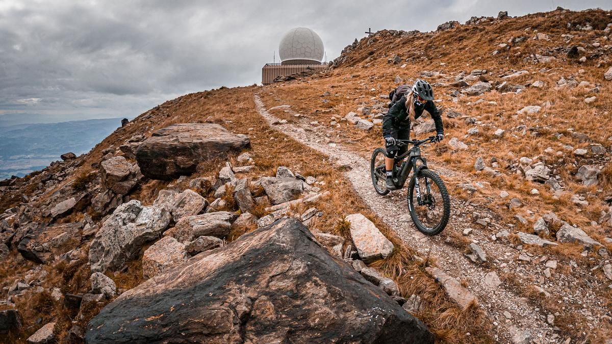
The descent from the summit runs through a scenic area with difficulty levels S1 to S2 (S3 in places) and runs along the Carinthia-Styria border. There are very flowy sections up to the Hühnerstütze before you descend towards the Grillitschhütte, take in the trail cut-offs and finally arrive back at the Koralpe valley station. You already know this from the ascent. This is followed by an interesting mix of trails past the Schoberkogel and then down the Weißes Kreuz single trail to the starting point. The difficulty of the last sections is S1 to S2.
The tour can also be shortened or ridden only as far as the Maria Schnee chapel in order to reach the single trails here.
Note: The route is located on Austrian territory and leads over routes that are not approved for mountain bikers. Riding this route on a mountain bike is the responsibility of each individual, in full awareness of the legal situation.
Map & GPX-Track
The map is only available to Ride subscribers.
The Ride-Subscription is available at ride-mtb.com/abo
.
Details of the tour
39 km
1750 m
1750 m
447 above sea level
2109 above sea level
1 day
Wolfsberg
Wolfsberg
3146
well suited
More information
More tours nearby
User comments (0)

About the author: Martin Depauli
Note: This content has been automatically translated from German. Please report any incorrect translations.