

Grosser Speikkogel – Süd
Description
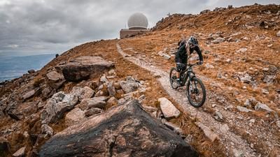
The tour starts in Eitweg/Sankt Ulrich just above Sankt Andrä in Lavanttal. From here, the route starts out on asphalt and later on gravel with a medium to moderate ascent. Initially through some forests, from an altitude of 1200 meters above sea level you reach clearings again and again and finally pass two large vacation resorts before heading towards the Alpengasthaus Sonnhof after Goding. Here you can stop for a bite to eat as the ascent becomes very steep from here. This is easy to do with an e-bike, but without an e-bike you will have to push your bike along. You then rejoin the asphalt road that rides to the summit with the Speikkogel radar system. The summit itself has a 360-degree panorama to be proud of. To the east, the view extends to Deutschlandsberg in Styria and southern Styria, to the south to Slovenia, to the west to the Klagenfurt basin and to the north to Bad Sankt Leonhart in the Lavanttal valley.
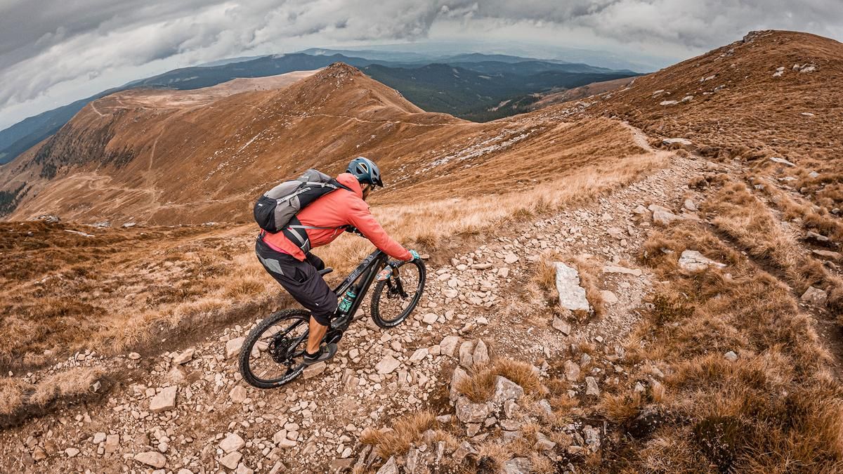
The trail descent is just as magnificent. Starting from the summit on difficulty level S2 (only S3 in places), the trail heads north along the entire ridge to the Grillitschhütte. A breathtaking ridge ride with Western Alps flair. You then cross the entire Speikkogel before taking the forest road back to the Alpengasthaus Sonnhof or the Godinghütte. On a single trail with a difficulty level of S1 to S2, the upper section crosses the ascent route and leads steadily downhill. There is a very southern flair here. With countless roots, the trail is a real treat. Finally, at around 950 meters above sea level, you join a gravel road, roll down it for a few meters and take the last trail cut-offs before arriving back in the urban area on the ascent variant and feeling asphalt under your studs before rolling back to the starting point.
Note: The route is located on Austrian territory and leads over routes that are not approved for mountain bikers. Riding this route on a mountain bike is the responsibility of each individual, in full awareness of the legal situation.
Map & GPX-Track
The map is only available to Ride subscribers.
The Ride-Subscription is available at ride-mtb.com/abo
.
Details of the tour
35 km
1700 m
1700 m
559 above sea level
2111 above sea level
1 day
Eitweg
Eitweg
3145
well suited
More information
More tours nearby
User comments (0)

About the author: Martin Depauli
Note: This content has been automatically translated from German. Please report any incorrect translations.