

Mégavalanche Alpe d'Huez
Description
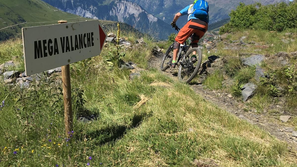
The descent begins on the Pic Blanc (3330 meters above sea level) high above Alpe d'Huez. The summit can be reached by cable car, and it is not uncommon to have to ride on snow on the first section of the descent. The singletrail spectacle then begins at the reservoir. The trail is rough at first, but then becomes increasingly flowy and rides right through the steep mountain flanks. Once you reach the ridge, the scenery becomes greener. The trail now rides down along steep mountain meadows to the high plateau of Alpe d'Huez. Once you have reached this, it's time to start pedaling - flat across the plain and then up to a hill on the opposite side. Now the long second section down to Allemond. Initially, you ride on a developed freeride route with countless berms to the outskirts of Oz, then turn left and now have narrower, more pristine single trails under your wheels. The descent is repeatedly interrupted by short flat sections or even a climb, until the destination of Allemond is reached on a root-serpentine trail. The unanimous conclusion: the Mégavalanche descent is one of the most varied and longest mountain bike descents in the world. Incidentally, the fastest riders in the annual race need around three quarters of an hour to complete the descent - "mere mortals" need around twice as long.
Note: The route can only be completed in July and August when the gondola lift to Pic Blanc is in operation. The return journey from Allemond is by free bus to Oz-Station and then by the Poutran gondola lift.
Map & GPX-Track
The map is only available to Ride subscribers.
The Ride-Subscription is available at ride-mtb.com/abo
.
Details of the tour
21 km
145 m
2715 m
726 above sea level
3301 above sea level
1 day
L’Alpe d’Huez
Allemond
1611
well suited
More tours nearby

User comments (0)

About the author: Thomas Giger
Note: This content has been automatically translated from German. Please report any incorrect translations.