

Monte Brugiana
Description
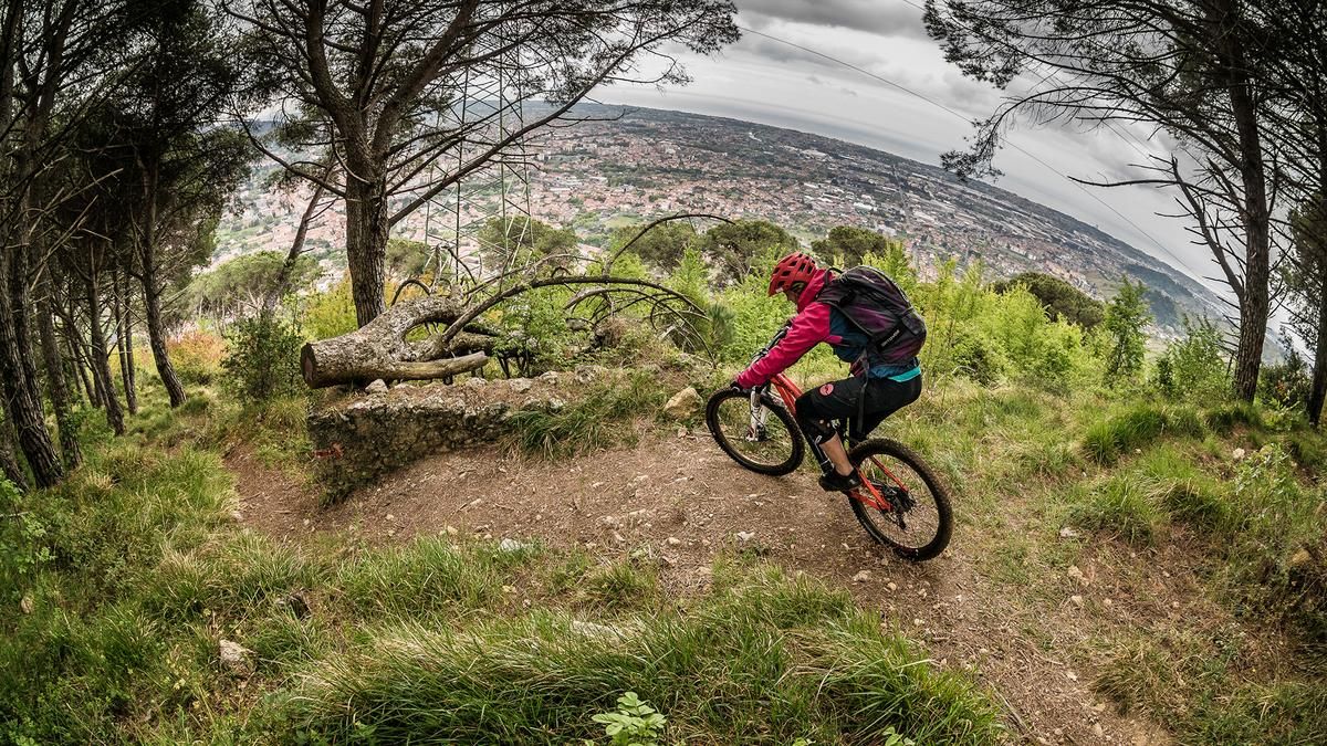
The tour starts just north of Massa at the foot of Monte Brugiana. The uphill section is very consistent and typical of the region. The asphalt road winds steadily uphill in long serpentines along the southern slopes. In the upper section, you switch to gravel and continue uphill through wooded terrain. The forest road ends at an altitude of just under 800 meters. From here, you will have to push or carry your mountain bike for the last 150 meters or so to the summit of Monte Brugiana. The route ends at 959 meters above sea level. The summit offers a sweeping view of the marble quarries of Carrara and the Mediterranean Sea. The vegetation here is typical of the region and consists of shrubs, pines, and deciduous trees. The area is particularly attractive in spring and fall when there is less vegetation. The descent begins directly at the summit and is challenging in places. The trail descends at difficulty level S2, with occasional S3 sections. In the upper section, you also pass a short passage secured with ropes. The trail then leads directly over the ridge back to the starting point. The degree of difficulty remains similar, but increases slightly towards the end. The most challenging sections are mainly rocky passages, the ground, and individual steep steps. The trail ends not far from the starting point, so no additional transfer is necessary.
Map & GPX-Track
The map is only available to Ride subscribers.
The Ride-Subscription is available at ride-mtb.com/abo
.
Details of the tour
15 km
825 m
825 m
59 above sea level
891 above sea level
1 day
Massa
Massa
3628
limited
More information
More tours nearby


User comments (0)

About the author: Martin Depauli
Note: This content has been automatically translated from German. Please report any incorrect translations.