

Clos du Doubs
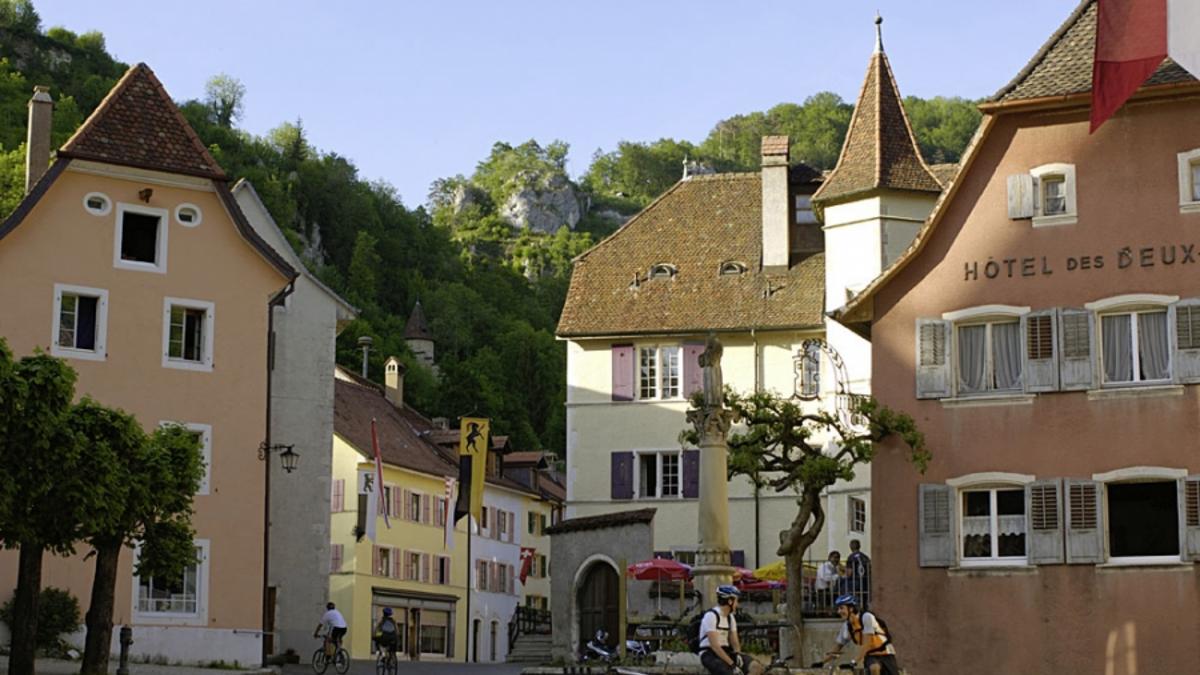
Description
From St-Ursanne, the first section of the tour follows the left bank of the river to the bridge to Ocourt. Turn left here and climb along a small road via Epiquerex to the hamlet of Bambis. At 900 meters above sea level, this is the highest point of the Clos du Doubs and the descent to Epauvillers begins. In Chervillers, you are back on the Doubs and follow the left bank of the river again to the starting point near St-Ursanne.
Map & GPX-Track
The map is only available to Ride subscribers.
The Ride-Subscription is available at ride-mtb.com/abo
.
Details of the tour
32 km
600 m
600 m
422 above sea level
902 above sea level
1 day
Saint-Ursanne
Saint-Ursanne
1252
well suited
More information
More tours nearby


User comments (0)

About the author: Thomas Giger
Note: This content has been automatically translated from German. Please report any incorrect translations.