

Tour de Porrentruy
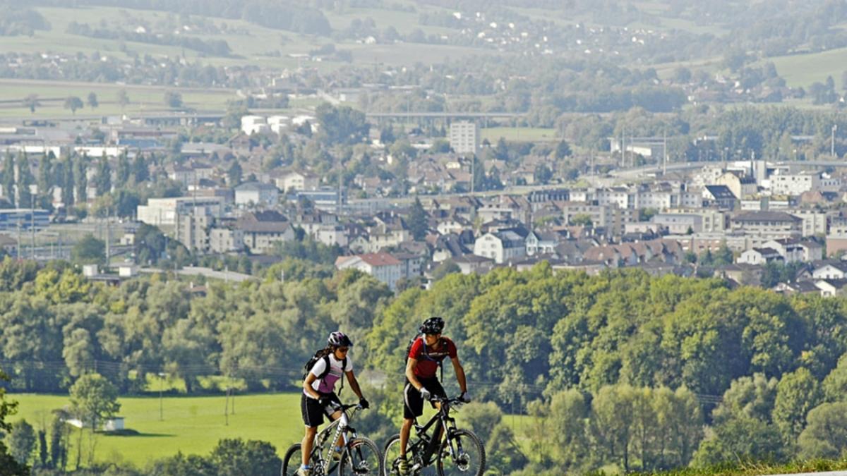
Description
The "Tour de Porrentruy" starts just after Porrentury railroad station and rides along forest and meadow paths to Miécourt, where the first ascent begins a little later. Forest roads lead up to Les Ebourbettes on the Swiss-French border, which you follow to the small lake near Lucelles. Now the ascent really begins. Almost 400 meters in altitude have to be overcome up to the summit of Les Ordons at Col de Rangiers. This is the highest point of the tour, and after the short descent to the Col de Rangiers and the road junction at Les Malettes, there is another short ascent. This is easy to ride up to Métairie de Montgremay, after which the bike has to be pushed a short distance to the small summit. Now it's time to have fun. The route descends along the ridge to the Col de la Croix, with an additional 110 meters of ascent until you pass the Vacherie Mouillard and return to Fontenais, a suburb of Porrentruy.
Map & GPX-Track
The map is only available to Ride subscribers.
The Ride-Subscription is available at ride-mtb.com/abo
.
Details of the tour
50 km
1120 m
1120 m
422 above sea level
990 above sea level
1 day
Porrentruy
Porrentruy
1250
well suited
More tours nearby


User comments (2)

About the author: Thomas Giger
Note: This content has been automatically translated from German. Please report any incorrect translations.
We rode the tour on May 22, 2020 and enjoyed it. This is not about single trails, but about experiencing the Jura landscape. After 17km, you move away from dirt tracks onto singletrack trails (from Ferme Ebourbette through the Largwald forest to Route 247). The route rides partly across France, which is normally not a problem, but with Corona it is, as you then have to find your way via shortcuts.
From La Lucelle, we took the road up to Bourrignon, where we were able to ride back up to Crete on a gravel road. From the transmission mast at Les Ordens, the first descent began on a beautiful forest singletrail before returning to the road at Col des Rangiers and then climbing again from Le Quatre Vents. From Montgremay, the Krete single trail begins, which then alternates with more gravel paths before the beautiful final single trail to Derrière les Essers.
Conclusion. A fairly long tour (55km according to GPS and 1380hm) that rides through a wonderful landscape. Technically rather easy and quite few single trails. The tour is fun because of the landscape and the view, less because of the top single trails. Personally, I wouldn't do the tour on an eBike, even if the start is perfect. From the crests, there are a few cow gates that you have to lift the bike over. You can do it as a team. Alone it would be too difficult for me.
Thanks to Ride for the great tour. It's great that you also have tours outside the hotspots.
I rode the tour on Sunday 24.5.2020. After test riding it a week before. Guided tour with guests. Very nice day tour in lonely forests and varied terrain. In good weather you can see in all directions, the Vosges, Black Forest, Chasseral and the Roche Tower in Basel. For ambitious enduro riders, I recommend riding up the ridge after the lake at Lucelle to Les Ordons, see Trailforks (Grande Roche à Lucelle), and the challenging Kretentrail. It is at least 1300m and 50 km. With the crete it is 1600m. This tour is recommended if you want to get away from the tourist crowds.