

Col de la Barbenière
Description
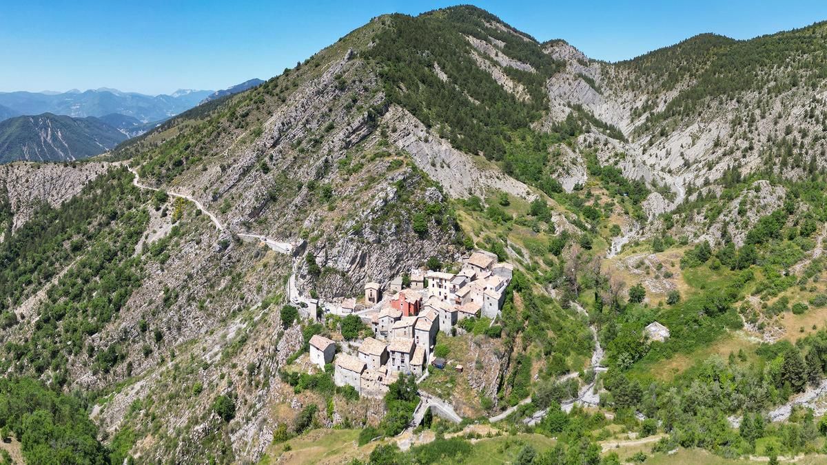
The route starts in the sleepy village of Puget-Théniers. First, you climb up a small road past Rostang to the picturesque village of Auvare. The small village nestles under a rock face on a steep slope and is barely inhabited - but a real gem. And: the starting point for the first descent of the day.
A solid S2 trail rides about 200 Elevation loss down to a gravel road that connects Rostang with the Col de la Barbenière. This is where the second ascent begins: you climb around 500 vertical meters on the well-maintained gravel road to reach the start of the Kreten Trail shortly before the pass.
This spectacular trail always follows the narrow mountain ridge and offers a challenging mix of S3 passages and occasional S4 sections. After the Collet des Aubrics, the trail becomes more flowing and winds down playfully - until you finally reach the starting point of Puget-Théniers again.
Tip: After the tour, take a detour to the village of Entrevaux.
Map & GPX-Track
The map is only available to Ride subscribers.
The Ride-Subscription is available at ride-mtb.com/abo
.
Details of the tour
28 km
1295 m
1295 m
404 above sea level
1477 above sea level
Puget-Théniers
Puget-Théniers
3490
well suited
More information
Pictures from the tour

User comments (0)

About the author: Thomas Giger
Note: This content has been automatically translated from German. Please report any incorrect translations.