

Fuerte Northcoast
Description
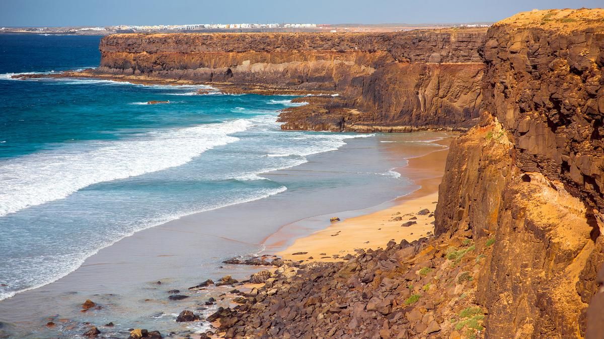
This long loop takes you around almost the entire northern tip of Fuertenventura. The starting point is the coastal village of El Cotillo, from where you ride south along the coast on asphalt and gravel roads. After seven kilometers of coastal splendour, you head inland. On gravel roads, you pass Tindaya, later La Oliva and finally reach the highest point of the tour (287 meters above sea level) between the two craters Arena and Saltos. A varied mix of trails and sandy tracks takes you to Lajares, where you tackle the second ascent of the day. The culmination point here is at the foot of the Calderon Hondo crater. Now you head down to the north coast and follow the coast for almost 15 kilometers back to the starting point.
Map & GPX-Track
The map is only available to Ride subscribers.
The Ride-Subscription is available at ride-mtb.com/abo
.
Details of the tour
55 km
590 m
590 m
1 above sea level
287 above sea level
1 day
El Cotillo
El Cotillo
2702
well suited
User comments (0)

About the author: Thomas Giger
Note: This content has been automatically translated from German. Please report any incorrect translations.