

Monte Civillina
Description
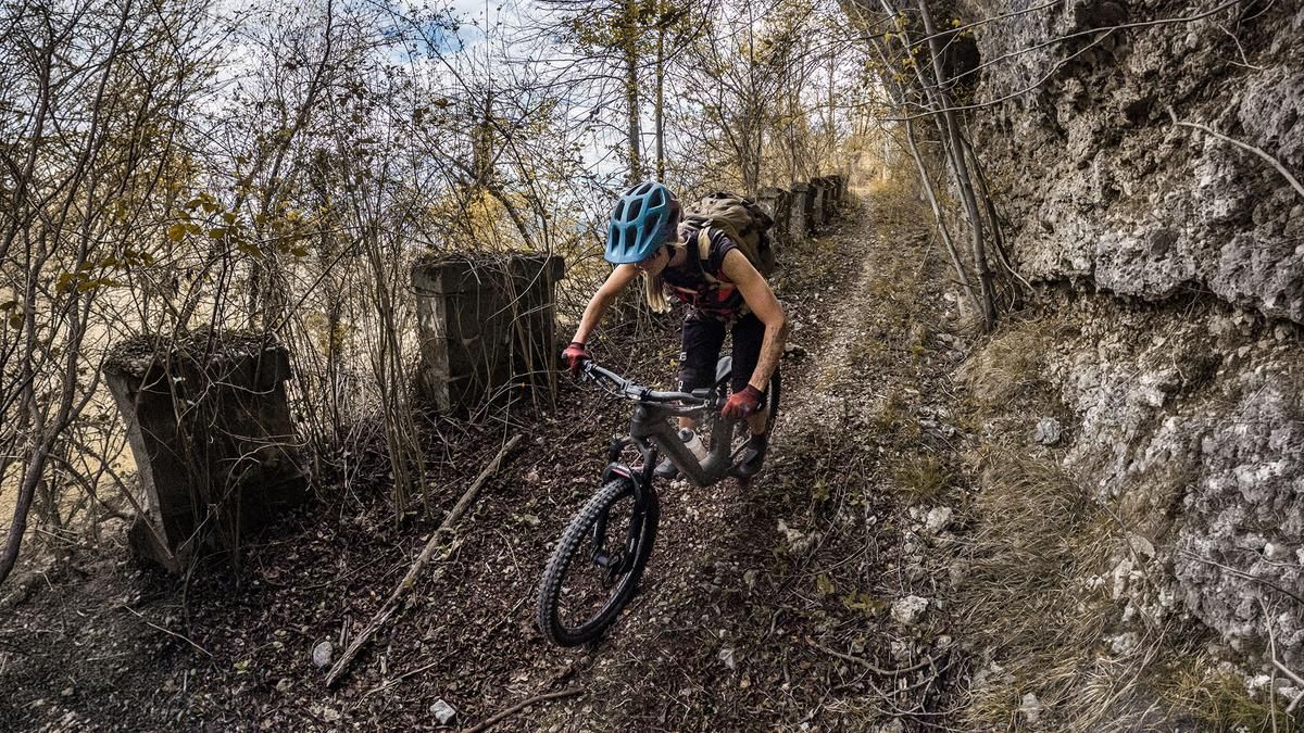
The tour starts in the small town of San Quirico. From there, the route initially follows the main road north on asphalt for a short distance before turning off toward Cappellazzi. The ascent then winds its way up the southern slope, first on asphalt and later on gravel. The ascent along the so-called Strada Militare is impressive in places, especially in the upper section near the historic structures and fortifications, as well as near the summit. The summit itself is typical of the Venetian Pre-Alps, characterized by deciduous and coniferous forests, and offers excellent panoramic views in spring and late fall, especially in the northern area near the lookout point, which provides a view of Pasubio and Monte Summano along the battle line.
This is followed by a very smooth and consistent descent heading south. The route follows a former military trail with a difficulty rating of S1, featuring several hairpin turns and a steady descent; depending on weather conditions, the difficulty may occasionally reach S2 in some of the turns. Overall, this is a very smooth trail to ride, running southward at Cappellazzi, then crossing the Agno River at the cemetery before leading back to the starting point.
Map & GPX-Track
The map is only available to Ride subscribers.
The Ride-Subscription is available at ride-mtb.com/abo
.
Details of the tour
13 km
620 m
630 m
320 above sea level
927 above sea level
1 day
San Quirico
San Quirico
3838
well suited
More information
More tours nearby


User comments (0)

About the author: Martin Depauli
Note: This content has been automatically translated from German. Please report any incorrect translations.