

Zwölferscharte - Val Marzon
Description
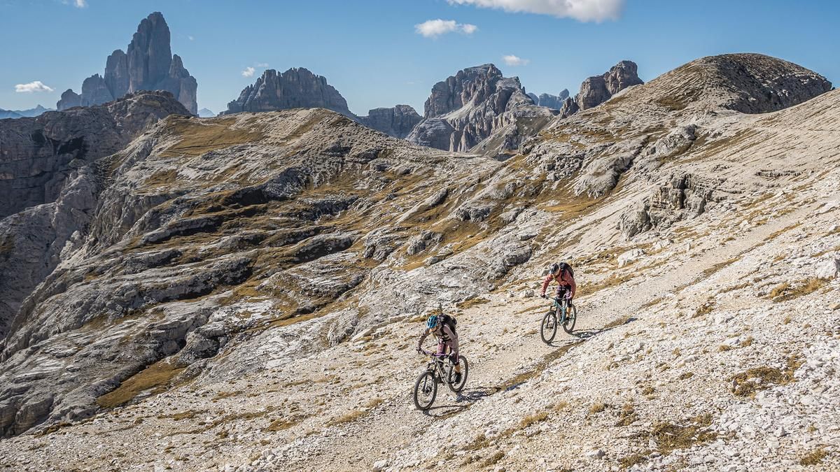
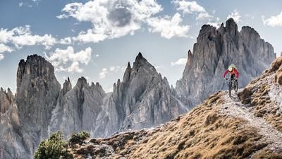
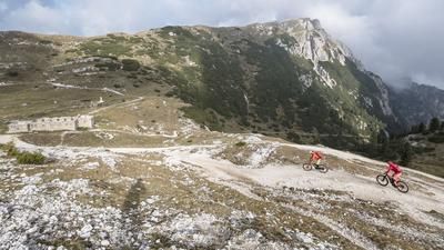
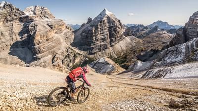
The tour begins in Giralba, a short distance west of Auronzo di Cadore. From here, the route follows the main road on paved surfaces as well as a gravel bike trail to Lake Misurina, with gradients varying depending on the section. The lake is already the first scenic highlight, but the climb up to the Three Peaks is even more impressive. The route winds steadily upward on paved roads—with steep sections in places—all the way to the Auronzo Hut. Then begins the push section along Sentiero 101 until the junction with Sentiero 104, where the first intermediate descent on trail and gravel with difficulty level S2 awaits.
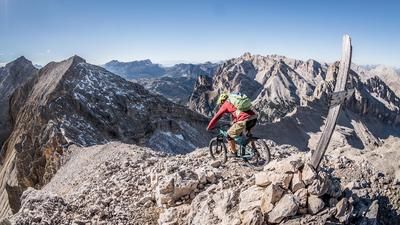
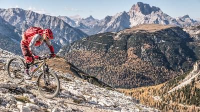
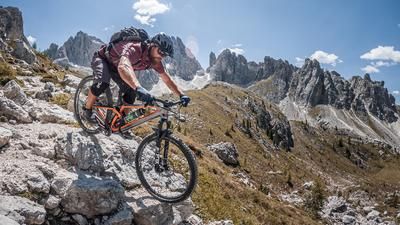
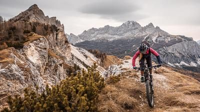
This is followed by another climb to Lago di Cengia, after which you take Sentiero 107 toward the Sandbüheljoch. From the Sandbüheljoch, follow Sentiero 107—which offers stunning scenery and smooth riding—toward the Zwölferscharte. After that, the trail becomes increasingly rugged, marking the start of the relatively long traverse beneath the Croda Antonio Berti. Here, you’ll need to push or carry your mountain bike toward Forcella dell’Agnello and Bivacco De Toni. Keep in mind that you’re in alpine terrain here, and sections of the trail may be in both good and poor condition. In the first third of the route, there is a section partially secured with a rope or an alternate path. However, this may vary from day to day depending on erosion or landslides. At the time this tour was recorded, it was not necessary to use the short section secured with ropes.
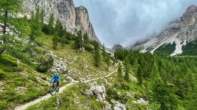
Finally, after enjoying impressive panoramic views at the Zwölferscharte below Bivacco De Toni, you take Sentiero 106 for the descent. With difficulty ranging between S3+ and S2, and what feels like countless kick turns, the route descends into Val Marzon. There, you’ll have left the legendary military trail behind and will head back to the starting point. All in all, this is a very impressive, alpine, and secluded tour that should definitely be undertaken outside of peak travel seasons and on weekdays. Furthermore, you should be mindful of trail conditions as well as erosion caused by severe weather and heavy rain, as these can significantly affect the trails.
Map & GPX-Track
The map is only available to Ride subscribers.
The Ride-Subscription is available at ride-mtb.com/abo
.
Details of the tour
43 km
1840 m
1830 m
960 above sea level
2497 above sea level
1 day
Giralba
Giralba
3824
not suitable
More tours nearby












User comments (0)

About the author: Martin Depauli
Note: This content has been automatically translated from German. Please report any incorrect translations.