

Le Cianpedele (Drei Zinnen)

Description
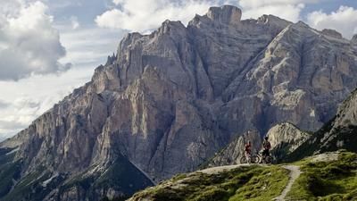
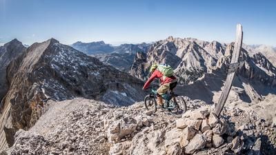
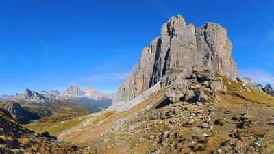
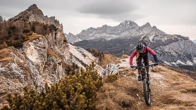
The starting point of the tour is Lake Misurina at 1751 meters above sea level. From here, the route climbs up the mountain road on asphalt to the Auronzo hut (2320 meters above sea level). It should be noted that you should start the tour relatively early to avoid all the tourist car and bus traffic and to be the first to enjoy the good mountain air. Once you arrive at the Auronzo hut, continue south to Forcella Longeres and on to Le Cianpedele at 2346 meters above sea level. Here you can take a long break at the summit and warm up in the autumn sun and enjoy the 360-degree panorama from the Tre Cime di Lavaredo to the Sasso Dodici and the Cristallo massif.
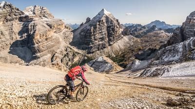
The descent then follows the ridge in difficulty levels from S1 to S2 and is a fantastic trail surfing experience to warm up riders and brakes. At the Auronzo hut, continue along the 101 trail towards Cappella degli Alpini and from here down the Vallon de Lavaredo. The Vallon de Lavaredo was a supply area during the First World War and an alpine trail like no other opens up here. A fantastic trail ride up to the Casa del Lapala at 1360 meters above sea level awaits and the 1000 Elevation loss makes for one of the most perfect trail descents in the Dolomites. From Caso de la Pala further on to Malga Bombassei, there are always trail cut-offs in the lower part, whereby you end up on the main road near Giralba at 951 meters above sea level.
From here you can either take the public bus or cab to Lake Misurina or cycle back on the (sometimes steep) cycle path. All in all, a fantastic tour away from the hustle and bustle and all the tourist madness around the Three Peaks.
Map & GPX-Track
The map is only available to Ride subscribers.
The Ride-Subscription is available at ride-mtb.com/abo
.
Details of the tour
40 km
1575 m
1575 m
962 above sea level
2327 above sea level
1 day
Misurina
Misurina
2024
well suited
More information
More tours nearby















































User comments (0)

About the author: Martin Depauli
Note: This content has been automatically translated from German. Please report any incorrect translations.