

Hinterbergkofel - Südvariante
Description
The tour begins just above Sankt Martin at the roundabout near the small hamlet of Binter Höfe. From here, the route first follows paved road and then a gravel path along the access road and forest trail toward Hinterbergkofel. The ride ends at just under 2,200 meters above sea level; from there, you’ll have to push and carry your mountain bike for the next 500 meters of elevation gain to the summit. Along this stretch, you can enjoy spectacular panoramic views while memorizing the route—because that’s exactly where the descent will begin later. At the saddle, the route follows the ridge to the summit. You should also plan for a five-minute push on the descent here. From here, the summit cross is already clearly visible. At the wooden cross, you reach the highest point of the tour at 2,727 meters above sea level and can see from the Grossglockner and Grossvenediger all the way to the Dolomites.
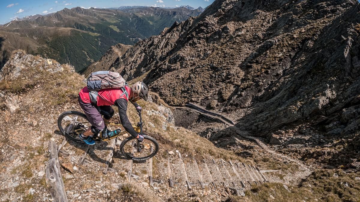
The descent is very smooth in the upper section at S1 level, then suddenly increases to S3–S4 level and is interrupted, as described, by the push section. From the saddle, the route descends extremely steeply and exposed over the steep ledges, where absolute mastery of the terrain is essential. Afterward, the trail becomes somewhat easier but still requires kick turns that necessitate shifting your stance. At this pace, the descent continues steadily downhill at an S1 to S2 level, becoming progressively easier all the way to the alpine pastures, though the kick turns remain. This is followed by an interesting mix of forest and meadow trails before reaching the Messner Hut. There, nestled in the Villgratner Mountains, it’s a good time to refuel. The route then continues very smoothly along forest and meadow trails back to the starting point.
Map & GPX-Track
The map is only available to Ride subscribers.
The Ride-Subscription is available at ride-mtb.com/abo
.
Details of the tour
16 km
1210 m
1210 m
1464 above sea level
2660 above sea level
1 day
St. Magdalena
St. Magdalena
3748
not suitable
More information
More tours nearby







































User comments (0)

About the author: Martin Depauli
Note: This content has been automatically translated from German. Please report any incorrect translations.