

Seekofelhütte

Description
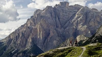
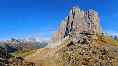
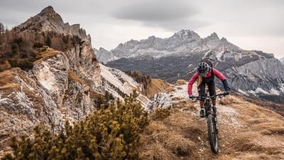
The route starts at the Passo di Cimabianche (Im Gemärk) between Dobbiaco and Cortina. From here, roll along the flat road towards Cortina for a short distance before turning right onto the first ascent a little later. On a forest road, you now climb up to the Forcella de Lerosa and then head down into the valley of the Boite stream. This first descent rides smoothly along a former military road and then climbs again on a steep gravel road until just before the Rifugio Sennes. Here you turn right onto the little road that leads up to the Seekofelhütte. That's the end of the leisurely part. You have to shoulder your bike for the last few meters up to Forcella de Lerosa. This final section is short, but for many mountain bikers the first part of the following descent is also a pushing section. The upper part of the descent into the Ofental valley is very difficult to unrideable. However, this changes as the distance increases. While the trail is initially rideable in sections, it is finally rideable throughout, albeit with no let-up in difficulty. Even if your full concentration is on the trail, you should always enjoy the landscape here. The trail rides through the middle of a bizarre rocky landscape.
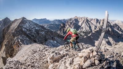
Finally, you reach a kind of plateau and then climb up the singletrail to Walsche Platz. This section is also only rideable in sections. This means that you push your bike up to the transition and then ride downhill on a rough gravel road to the Rossalm - the must-stop in this region because of the delicious food and entertaining mountain farmers. Refreshments are also required for the next section. This rides through steep terrain along the northern flanks of the Gaisl. From a distance, it doesn't seem possible to pass this section on a bike. But you can, even if it is primarily on foot. The route here rides through high alpine terrain and is secured with chains in sections. It is important to look ahead here to ensure that no hikers are approaching. Crossing is not possible in the steepest sections. Immediately after the rocky section, the path becomes smoother, almost flowing. This is how you reach the culmination point of the tour directly below the northern flank of the Hohe Gaisl.
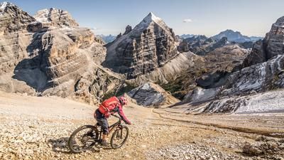
The descent is a treat for good bikers. The path leads through the rocky terrain but is completely rideable with a racy line choice - provided you have thick tires and plenty of suspension travel. Immediately before the Prato Piazza meadows, turn right into the Knappenfuss valley. Here, too, there are a few short passages at the beginning where you have to push the bike, but then the trail becomes super smooth and winds its way through a sea of leeward pines for three kilometers. The descent ends directly at the starting point at Passo Cima Biance.
Map & GPX-Track
The map is only available to Ride subscribers.
The Ride-Subscription is available at ride-mtb.com/abo
.
Details of the tour
32 km
1500 m
1500 m
1513 above sea level
2374 above sea level
1 day
Cimabanche
Cimabanche
2010
not suitable
More information
More tours nearby














































User comments (0)

About the author: Thomas Giger
Note: This content has been automatically translated from German. Please report any incorrect translations.