

Croda de r’Ancona

Description
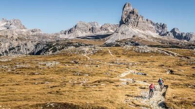
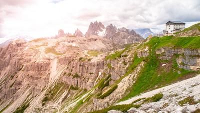
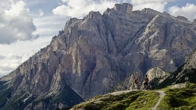
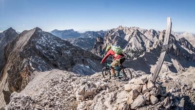
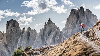
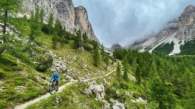
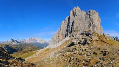
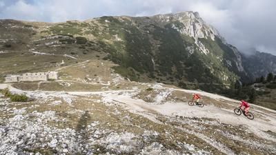
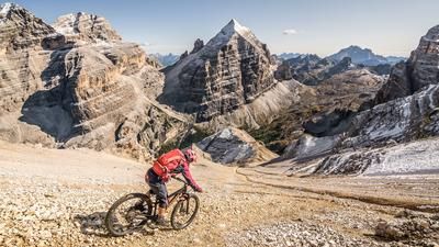
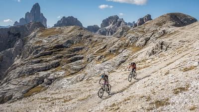
The tour starts just above Cortina d'Ampezzo in the Beutelstein area. From here, the route follows gravel and then the old disused railroad line towards Cimabanche. Passing Lago Negro, take the gravel road on the left immediately after the barracks from the Second World War and pedal uphill on a moderate and sometimes steep gradient to Forcella de Lerosa. The ascent itself offers magnificent views down towards the Hohe Gaisl and the Dolomites. The pushing and carrying part of the ascent to the summit begins over the pass. A partly old military path from the First World War leads past trenches up to the Croda de r'Ancona summit at 2367 meters above sea level. The view here is magnificent. One of the best bike summits in the Dolomites in terms of the view and the trail descent.
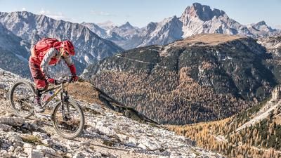
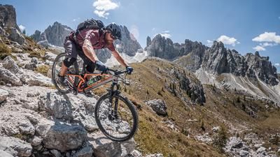
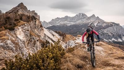
With good visibility, you can see all the striking rock formations. The descent itself is relatively selective. In most areas, the descent is between S2 and S3, in places S4. However, the massive S4 sections can also be pushed off for a short time. It then joins a Strada militare from the First World War and rides down a few hairpin bends to Ra Stua. From Ra Stua, there is a small trail between Trail-Uphill, or a high-level trail once again out of the valley, before the last trail sections are taken to the starting point. Difficulty level S2 can also be expected here.
Map & GPX-Track
The map is only available to Ride subscribers.
The Ride-Subscription is available at ride-mtb.com/abo
.
Details of the tour
23 km
1085 m
1085 m
1334 above sea level
2308 above sea level
1 day
Beutelstein
Beutelstein
2929
not suitable
More information
More tours nearby












User comments (0)

About the author: Martin Depauli
Note: This content has been automatically translated from German. Please report any incorrect translations.