

Oberbachernspitze (Drei Zinnen)

Description
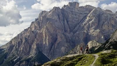
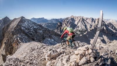
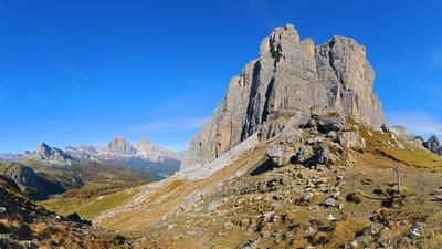
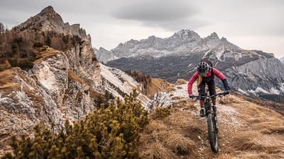
The tour, or rather the adventure in this case, starts at Lake Misurina. There are plenty of parking spaces here to leave your vehicle. Now it's a pleasant climb up the road to the Auronzo hut. The metres in altitude fly by and you are increasingly immersed in the world of the Dolomites, in this case the Three Peaks. Here you should make sure to start the tour early in the morning, as the traffic is still light and there are few people between the Auronzo hut and the Lavaredo hut/Paternsattel. The earlier you start, the clearer the air, the more explosive the landscape and the more colorful the scenery. From the Paternsattel, the route then heads towards the Büllelejochhütte at S2 or S1 level. First there is a short downhill, then the steep ascent to the hut. From here, you take the 101A trail and reach the Oberbachernspitze at 2675 meters above sea level after 20 to 30 minutes of pushing. The summit itself offers an incredible panorama. To the north, the mountain drops vertically for around 800 meters and you can see the Val Fiscalina and then the Italian/Austrian border with the Villgratner and Defereggen mountains. All around, the Sesto Red Walls, the Elferkofel and Zwölferkofel, as well as the Three Peaks, provide a gigantic view of their rock faces and surreal formations.
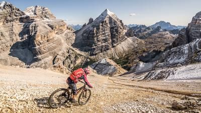
At the summit, a relatively short downhill follows, because a stop at the Büllelejochhütte is a must. Here you can enjoy a delicious coffee and apple strudel. After refreshments, the route continues briefly along the Oberbachernjoch to the Kriegssteig, where you then turn right onto the 107er path and take the trail cut-offs. Here the biker is already more challenged and at S2 to S3 level it then goes down to the 1107 trail into the Val de Cengia valley. From here, a wartime trail runs along the valley and offers endless trail fun with countless hairpin bends. It should be noted, however, that the Dolomites with their extreme weather events also have a typical effect here. Due to heavy rainfall and avalanches, sections of this trail can only be tackled by pushing, although this is limited (5 to 10 minutes). From the Cason de la Crosera there are always trail cut-offs and the tour ends near Giralba. Here you can take the cycle path back up to Lake Misurina, support the local cab company or wait for the line bus. All three alternatives are feasible and shorten the tour by around 19 kilometers thanks to shuttle support.
Map & GPX-Track
The map is only available to Ride subscribers.
The Ride-Subscription is available at ride-mtb.com/abo
.
Details of the tour
44 km
1945 m
1945 m
962 above sea level
2637 above sea level
1 day
Misurina
Misurina
2018
well suited
More information
More tours nearby
















































User comments (0)

About the author: Martin Depauli
Note: This content has been automatically translated from German. Please report any incorrect translations.