

Monte Campedelle

Description
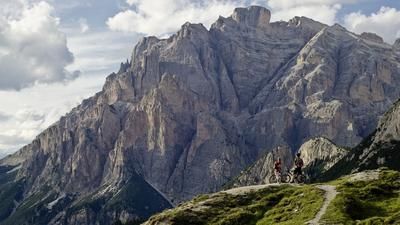
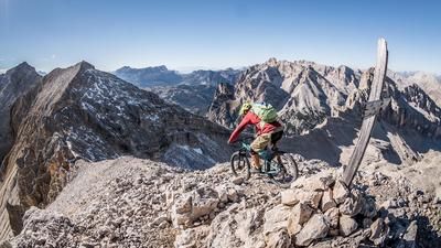
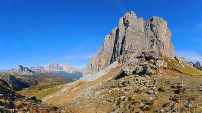
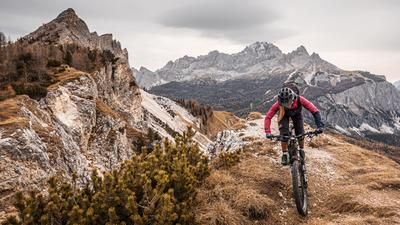
The trail starts at the legendary and panoramic Lake Misurina. The starting point at the northern end alone, with its fabulous view of the surrounding mountains, is unique. From here, the uphill route winds its way to the Auronzo hut on asphalt with varying gradients and a fantastic panorama. After the Auronzo hut, the route descends a few meters to the highest point of the tour, Monte Campedelle. A true Instagram hotspot summit with a historical background. During the First World War, it was a heavily contested area and is therefore interspersed with trenches and positions.
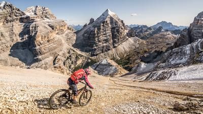
On arrival in downhill mode, the route continues on difficulty S2 to Lago d'Antorno. The trail only becomes a little easier briefly in the intermediate section, otherwise the route is typical for the region and takes you majestically through one of the most beautiful mountains in the world on limestone and loose gravel. From Lago d'Antorno, there are a few more trail cut-offs before you reach the starting point. With an ascent of just under 650 meters, but a singletrail section of over 5.5 kilometers, the tour is a real highlight in terms of effort/yield.
Map & GPX-Track
The map is only available to Ride subscribers.
The Ride-Subscription is available at ride-mtb.com/abo
.
Details of the tour
16 km
630 m
630 m
1747 above sea level
2319 above sea level
1 day
Misurina
Misurina
2410
well suited
More information
More tours nearby















































User comments (0)

About the author: Martin Depauli
Note: This content has been automatically translated from German. Please report any incorrect translations.