

Lückelescharte - Innerfeldtal
Description
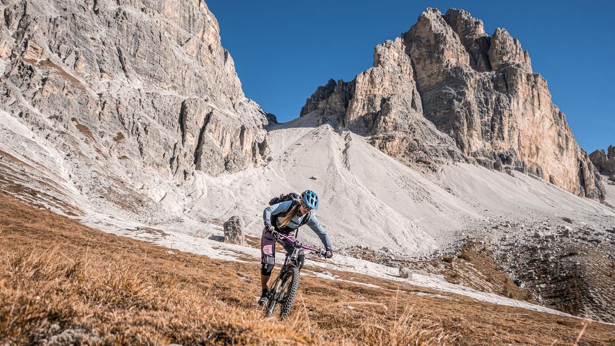
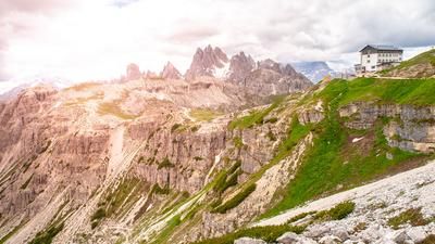
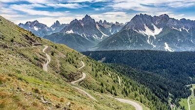
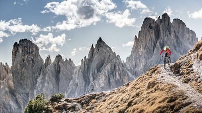
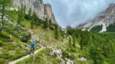
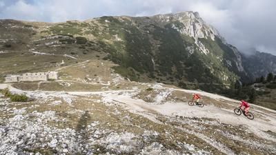
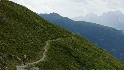
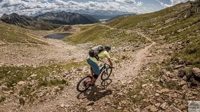
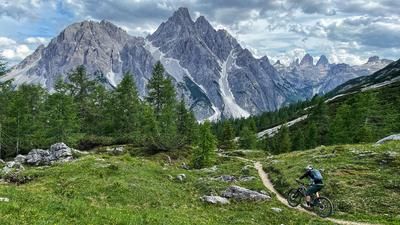
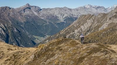
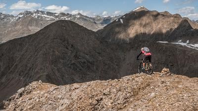
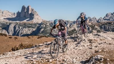
The tour begins in Innichen. From here, take a leisurely ride eastward along the bike path toward Kreuzbergsattel. Near the hiking parking lot or the bus terminal, turn right and follow Innerfeldstraße on paved road steadily southward into the valley toward the Dreischusterhütte. From the Dreischusterhütte, the route continues southward through a very scenic area, with some sections requiring pedaling. You then follow hiking trail number nine, either pushing or carrying your bike, up to 2,533 meters above sea level to the Lückelescharte. Once you reach the highest point of the tour, spectacular views open up toward the main Alpine ridge to the west as well as the surrounding Dolomites. To the south and east, mighty 3,000-meter peaks and steeply sloping rock faces dominate the landscape; this is particularly impressive near the Dreischusterspitze.
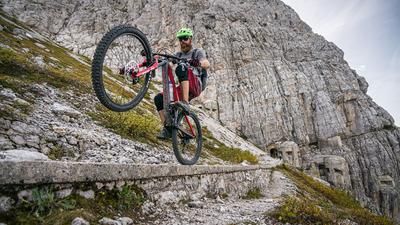
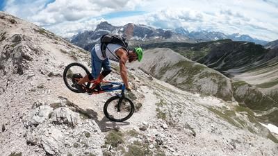
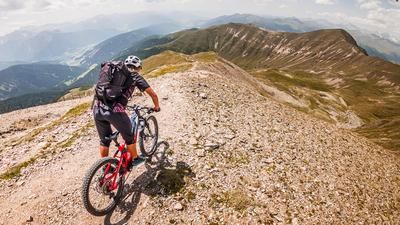
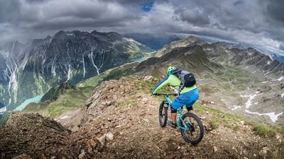
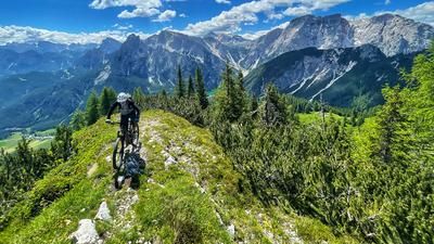
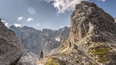
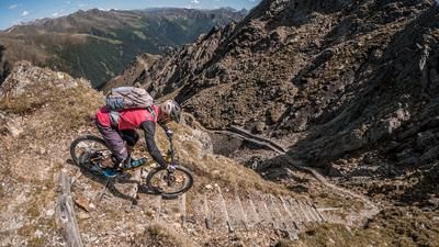
The descent along hiking trail number nine ranges from S3 to S2 in sections, with several challenging key sections to navigate in the upper part. This may vary depending on weather conditions and the state of erosion on the trail. In the lower section, the trail becomes increasingly smooth and leads back to the Dreischusterhütte, where you can stop for a break. The route then continues along very smooth trail sections back to the bike trail, which leads directly to Sexten and then to the starting point in Innichen.
Map & GPX-Track
The map is only available to Ride subscribers.
The Ride-Subscription is available at ride-mtb.com/abo
.
Details of the tour
28 km
1370 m
1360 m
1181 above sea level
2517 above sea level
1 day
Innichen
Innichen
3828
not suitable
More information
More tours nearby



















User comments (0)

About the author: Martin Depauli
Note: This content has been automatically translated from German. Please report any incorrect translations.