

Pic Chiadin - Ostseite
Description
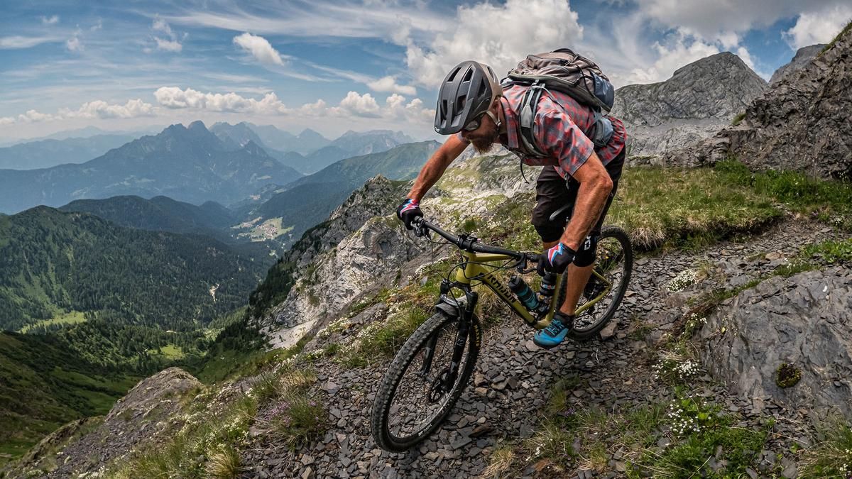
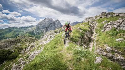
The tour begins at the Laghetti di Timau campground. From here, the Plöcken Pass Road—a former military road dating back to World War II—climbs steadily uphill until you join the official bike route toward Rifugio Marinelli. The climb to the Rifugio offers stunning scenery but is quite demanding due to its very steep sections. A challenging section awaits you up to Laghetto di Plotta, before the route continues on a very smooth singletrack for the final meters up to Rifugio Marinelli; maintenance work is scheduled for this trail in June 2026. You can stop for a break at Rifugio Marinelli, after which you can take Sentiero 143 toward Pic Chiadin at 2,302 meters above sea level. The view in this area is truly breathtaking, with the Hohe Warte to the north being particularly impressive. It’s hard to believe that World War I took place against this mountain backdrop. To the south, the view extends to the Pre-Alps, Monte Crostis, and Monte Zoufplan. The descent begins right at the summit itself. With a magnificent panorama, the route—rated S2, with occasional S3 sections, including a few kick turns and key sections—leads down to Rifugio Marinelli.
From Rifugio Marinelli, the trail becomes easier again, and you’ll no longer be on Sentiero 143 but on Sentiero 146. You then follow Sentiero 146 and Trail 171, with the difficulty alternating between S3 sections and continuous S3 terrain. After that, Sentiero 146 serves as a traverse before leading into the old military trail, Sentiero 149. This trail isn’t really any easier, but it’s extremely impressive to ride along with its old dry-stone walls. Sentiero 149 leads steadily downhill at difficulty level S3 before merging into a gravel road and finally descending about 100 meters via a concrete ramp. The ride continues very smoothly on Sentiero 161 (difficulty S2) until you rejoin the Plöcken Pass road. You’ll follow this road up a short climb and then take the mule trail, Sentiero 161, back to the Laghetti di Timau. All in all, a very impressive tour with some very challenging trail sections that, thanks to the magnificent mountain panorama, is in a class of its own. Also, be sure to bring plenty of water, as the upper section is very dry due to the limestone and karst terrain.
Map & GPX-Track
The map is only available to Ride subscribers.
The Ride-Subscription is available at ride-mtb.com/abo
.
Details of the tour
22 km
1350 m
1350 m
899 above sea level
2227 above sea level
1 day
Laghetti di Timau
Laghetti di Timau
3759
not suitable
More information
More tours nearby






User comments (0)

About the author: Martin Depauli
Note: This content has been automatically translated from German. Please report any incorrect translations.