

Radeševo - Bikepark extended
Description
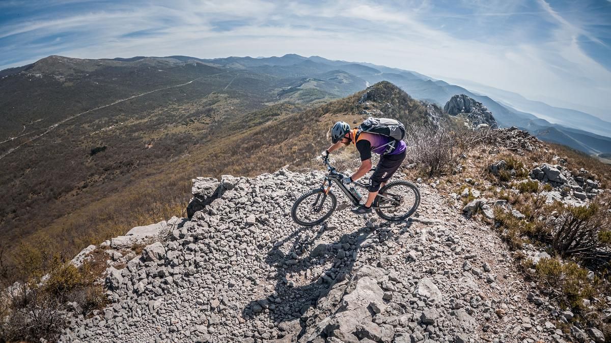
The tour begins at the large park and industrial area near Grobnik. From here, the paved main road climbs steadily uphill to the Veliki Kamenjak ridge, where several military installations from World War II—part of the Vallo Alpino—are located. At that time, the area still belonged to Italy; today, the facilities are located on Croatian territory. You then turn left onto the military road, continue uphill over gravel that is sometimes very coarse and karst terrain, and, following the main road, reach the Platak ski resort and sports area. From there, the route continues on gravel once more before reaching the highest point of the tour, Radeševo, at 1,363 meters above sea level. Apart from the small ski lift, the view is very inviting, offering a panoramic vista of Kvarner Bay and Učka National Park. Especially in the spring, when the vegetation is still low, a clear view into the distance is almost guaranteed.
Then the descent begins. First, you’ll ride down the Platak downhill trail—rated S2 with occasional S3 sections—in typical mountain bike park style. You’ll then rejoin the route at the Platak parking lot, follow side roads, and, after a brief descent on paved paths, reach the next section of the trail. Below Mala Peša, you’ll once again use an old military road from the Vallo Alpino, which transitions into a very smooth trail section rated S1 to S2. After that, a cart track finally leads back to the starting point. All in all, an interesting tour in Croatia’s hinterland, away from the hustle and bustle. In the area around the summit, two variants are also possible: the Flow Platak and the Downhill Platak.
Map & GPX-Track
The map is only available to Ride subscribers.
The Ride-Subscription is available at ride-mtb.com/abo
.
Details of the tour
28 km
1040 m
1040 m
313 above sea level
1336 above sea level
1 day
Grobnik
Grobnik
3738
well suited
More tours nearby




User comments (0)

About the author: Martin Depauli
Note: This content has been automatically translated from German. Please report any incorrect translations.