

Grnjac - Medveja

Description
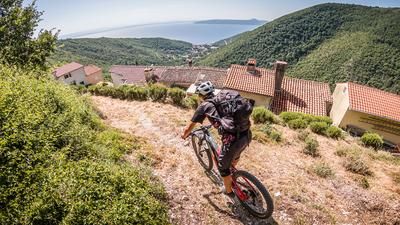
The tour starts in Medveja near the campsite. The beautiful bay of Medveja is the perfect starting point for the tour. The route starts along the coastal road of Kvarner Bay to Lovran. In Lovran, take the Učka Bike 8 uphill section, which rides steadily uphill through the hamlets. After just a few meters, you leave the hustle and bustle of the coastal area and enter typical Croatian territory. The route climbs steadily at a medium to moderate gradient before briefly becoming relatively steep, but on concrete, towards the Učka tunnel. You seem a little puzzled for a short time before you find yourself next to the highway. However, this changes abruptly and you are immersed in the beech forests of the Učka National Park. The Učka Bike 8 Tour continues on a very rough and steep feeder road until you reach the highest point of the tour. The last few meters to the Grnjac summit are then more feasible on foot, but here you will be rewarded with a tremendous view of the Kvarner Bay, the island of Krk and the Mediterranean Sea. After the short detour to the viewpoint, the route then climbs a few more meters in altitude before taking the trail to the left past Lazi.
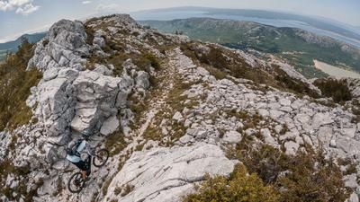
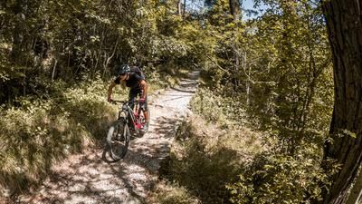
A fantastic single trail with a historical background ranging in difficulty from S1 to S3 leads down to Lovranska Draga over a wide variety of surface conditions, combined with hairpin bends. Lovranska Draga is a picturesque old town in the middle of Kvarner Bay. After you have cycled through the town, you briefly take a gravel road before the real action begins. At difficulty levels S2 to S3, you are put to the test and have to prove your biking skills, especially in the lower part with the hairpin bends. These sections should not be underestimated, as the karst can wedge the tires or the whole bike. Once you arrive at Autocamp Medveja, you then follow a mule track right past it until you get back to the starting point.
Map & GPX-Track
The map is only available to Ride subscribers.
The Ride-Subscription is available at ride-mtb.com/abo
.
Details of the tour
20 km
850 m
850 m
4 above sea level
850 above sea level
1 day
Medveja
Medveja
2718
well suited
More information
More tours nearby






User comments (0)

About the author: Martin Depauli
Note: This content has been automatically translated from German. Please report any incorrect translations.