

Monte Paularo

Description
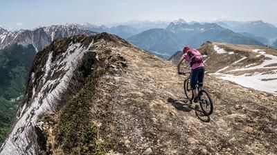
The route starts in the small village of Paluzza, from where it winds up the main road towards Ligosullo/Forcella di Lius to 1030 meters above sea level. From this point, you take an old military road from the Second World War, past Castello di Valdajer, up to Lago Dimon. Lago Dimon is a fabulous mountain lake and already shows the final destination of the tour: Monte Paularo (2043 meters above sea level). The last few meters to the summit are now off the military road. A single trail, but one that is easy to pedal. The summit does not disappoint. Not because of the panorama and not because of the trail descent.
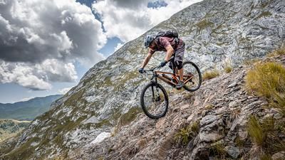
The descent heads north along an old military road (Sentiero 404) from the First World War via the Forcella Fontanafredda and continues on difficulty level S2 (S3 in places) to the Casera Pramosio. From Casera Pramosio, take the trail cutter of Sentiero 403 to Laipacco. Here you meander along side roads and main roads back to Paluzza. Conclusion: All in all, a real trail treat in the heart of the Carnic Alps.
Map & GPX-Track
The map is only available to Ride subscribers.
The Ride-Subscription is available at ride-mtb.com/abo
.
Details of the tour
30 km
1410 m
1410 m
601 above sea level
2008 above sea level
1 day
Paluzza
Paluzza
2373
well suited
More information
More tours nearby






User comments (0)

About the author: Martin Depauli
Note: This content has been automatically translated from German. Please report any incorrect translations.