

Monte Zermula

Description
The tour starts in Paularo, an idyllic village in the heart of the Carnic Alps. Initially on asphalt, later on gravel, the route climbs steadily uphill to Casera Pizzul, which serves regional Alpine delicacies in the summer months. On this high plateau, you can already enjoy an impressive view of the Paularo basin and the striking rock formations of the Carnic and Julian Alps.
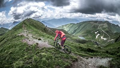
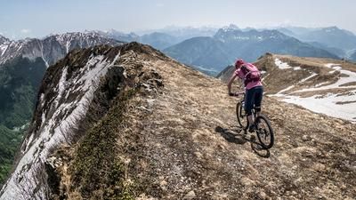
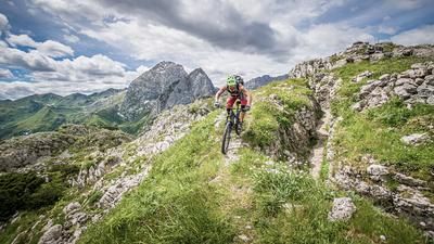
Afterwards, the bike is pushed or carried along a former mule track along the ridge to Monte Zermula at 2134 meters above sea level. The view from the summit is breathtaking, but it is hard to imagine that fierce battles once took place here during the First World War.
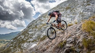
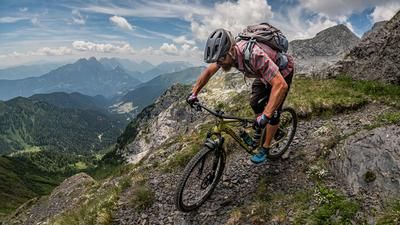
The descent then begins. Initially, the route continues along the ridge, where pushing and carrying passages are required time and again. However, there are also rideable sections. At difficulty level S3, the trail becomes increasingly homogeneous and continues in a spectacular setting towards Punta Cul di Creta. From here, a well-preserved military path from the First World War winds its way down to Malga Zermula, where you can stop for refreshments.
From Malga Zermula, the route then descends via a steep concrete ramp towards Plan di Zermula before turning into another mule track. This runs idyllically through dense spruce forests and eventually leads to Torrente Chiarso. A slight up-and-down continues along the route until you reach the historic Sentiero Las Callas CAI 442. This offers a fantastic and historic descent back to Paularo, where the loop finally comes to an end.
Map & GPX-Track
The map is only available to Ride subscribers.
The Ride-Subscription is available at ride-mtb.com/abo
.
Details of the tour
26 km
1450 m
1450 m
640 above sea level
2079 above sea level
Paularo
Paularo
3394
not suitable
More information
More tours nearby






User comments (0)

About the author: Martin Depauli
Note: This content has been automatically translated from German. Please report any incorrect translations.