

Monte Paularo – Südvariante

Description
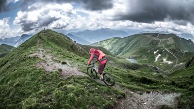
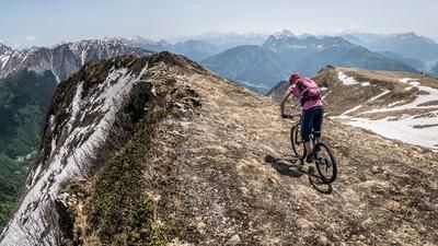
The starting point of the tour is Paluzza. From Paluzza, in the heart of the Carnic Alps, the route rides past Treppo Carnico to Forcella di Lius, entirely on asphalt. Shortly before the Forcella di Lius, turn off and follow the military road to the Castello di Valdajer on a paved surface. After the Castello di Valdajer, you switch to gravel and cross the entire southern section of Monte Neddis and Monte Dimon. An impressive military road rides above the vegetation line to Lago di Dimon and then to Monte Paularo. Once you reach the highest point of the tour, you can enjoy a fabulous panorama, especially in autumn and spring.
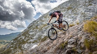
The descent starts from the summit up to an altitude of around 1500 meters above sea level and is relatively easy. The trail then changes to difficulty levels S2, S3, depending on dryness and weather conditions, and leads directly through the forests back to the starting point. Alternatively, you can stay on Sentiero 405 and ride down. This variant is much easier, but ends at the same point.
Map & GPX-Track
The map is only available to Ride subscribers.
The Ride-Subscription is available at ride-mtb.com/abo
.
Details of the tour
25 km
1380 m
1380 m
633 above sea level
2005 above sea level
1 day
Paluzza
Paluzza
3197
well suited
More information
More tours nearby






User comments (1)

About the author: Martin Depauli
Note: This content has been automatically translated from German. Please report any incorrect translations.
Our BnB is located about 45 minutes by car from the starting point of this tour and directly on the trail area of Gemona of Friuli.
https://www.bnb-bondigemona.ch/