

Cimone di Crasulina

Description
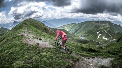
The route starts in Cercivento, where it climbs steadily along a historic military road from the times of the Vallo Alpino. The ascent is long and even, leading through dense forests and opening up to around 1500 meters above sea level, where the tree line is broken. From here, an impressive view opens up to the south. Passing Monte Tenchia, the route continues towards Zoufplan, where a striking antenna station marks the way. As you cross the plateau, you can enjoy fantastic views as far as Austria and the Italian border. The last few meters to the summit can only be tackled by pushing, but once you reach 2104 metres above sea level, you are rewarded with a breathtaking all-round panorama - especially in clear autumn air, the distant views are unique.
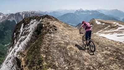
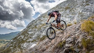
The descent initially begins along the ascent route to the saddle, with a continuous difficulty of S2. This is followed by a long traverse via the Panoramica delle Vette. This former military path is in good condition overall, but has slipped in some places, so that the bike has to be pushed here. The route then continues downhill below Monte Valsecca, always through picturesque spruce forests. The surface remains technically demanding (S2), with some challenging sections. Finally, you reach Ravascletto, a well-known stage of the Giro d'Italia and starting point for the famous Monte Zoncolan, one of the region's best-known ski resorts. The return journey to Cercivento is via a combination of mule tracks and side roads and does not present any particular challenges.
Note: Due to the carrying sections and the sometimes challenging route, e-bikers should bear in mind that some sections may have to be pushed or carried. The tour requires a good basic level of fitness and alpine experience.
Map & GPX-Track
The map is only available to Ride subscribers.
The Ride-Subscription is available at ride-mtb.com/abo
.
Details of the tour
33 km
1500 m
1500 m
601 above sea level
2034 above sea level
Cercivento
Cercivento
3387
limited
More information
More tours nearby






User comments (0)

About the author: Martin Depauli
Note: This content has been automatically translated from German. Please report any incorrect translations.