

Malga Lavaréit

Description
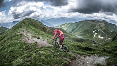
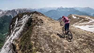
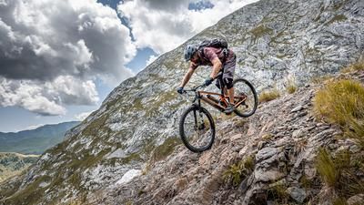
The tour starts in Timau. Located south of the Plöcken Pass, this idyllic village is surrounded by massive mountain ridges and rock faces. From here, take the main road, Via Nazionale, toward Tolmezzo, then turn right at Cleulis and begin the climb—first on asphalt, then on gravel—toward Malga Lavaréit. The climb totals 700 meters of elevation gain, which is quite manageable. The food and drink at the alpine hut itself are absolutely top-notch, as is the view to the north toward the Italy/Austria border. The trail descent also begins here. A mix of S1 and S2 sections winds through coniferous forests—typical of the area—offering a varied and rideable trail that leads directly to the Laghetti di Timau campground. From there, you ride back down the main road to Timau.
Map & GPX-Track
The map is only available to Ride subscribers.
The Ride-Subscription is available at ride-mtb.com/abo
.
Details of the tour
17 km
720 m
720 m
817 above sea level
1462 above sea level
1 day
Timau
Timau
3662
well suited
More information
More tours nearby






User comments (0)

About the author: Martin Depauli
Note: This content has been automatically translated from German. Please report any incorrect translations.