

Dürrenstein - Plätzwiesen-Trail
Description
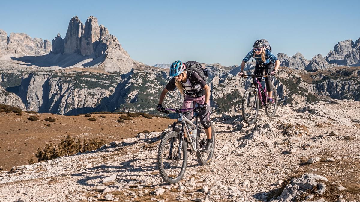
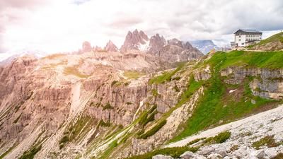
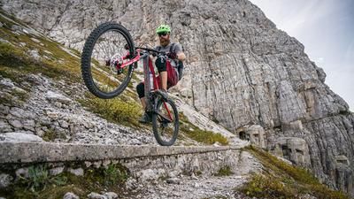
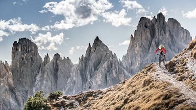
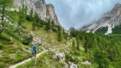
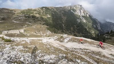
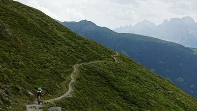
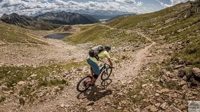
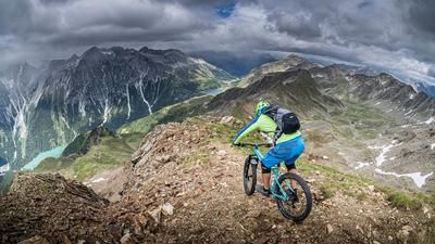
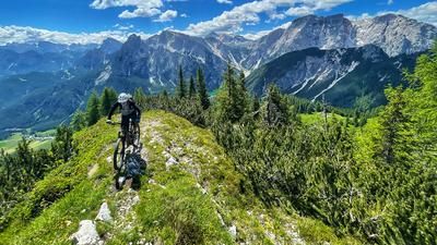
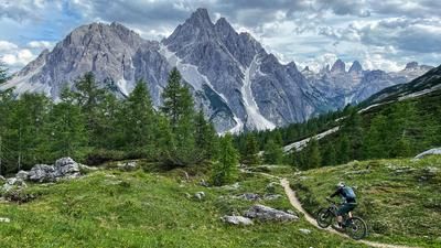
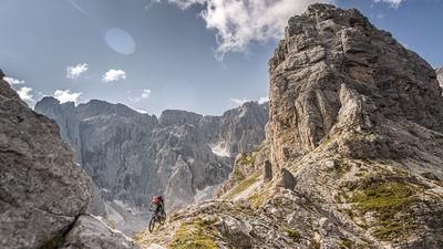
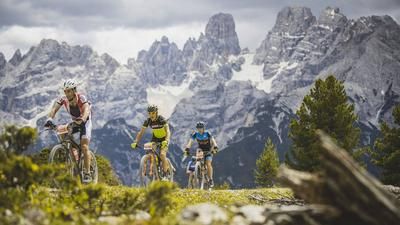
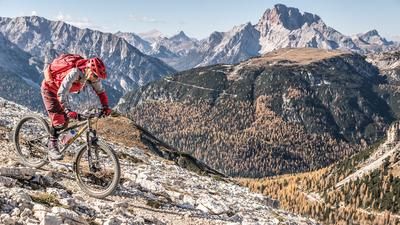
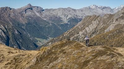
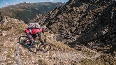
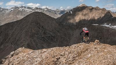
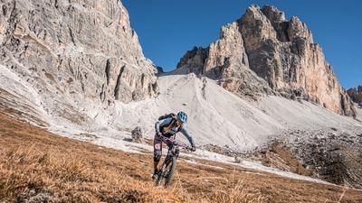
The tour begins a short distance south of Lake Dürrensee near Schluderbach. From here, the military road dating back to the Vallo Alpino era leads toward Plätzwiese with a steady climb and sweeping views. Along the way, you’ll come across defensive fortifications from World War I and then cross the access trail toward Sentiero 40, which ultimately leads to the Dürrenstein. The traverse—or the route to the summit—runs entirely along a very well-maintained hiking trail, so the mountain bike is mostly pushed and only occasionally carried. The route essentially ends at the secondary summit. However, you can take your mountain bike all the way to the main summit; to do so, you’ll need to climb a short, rope-secured staircase. At the summit, a sweeping view opens up over the striking peaks of the Dolomites, including the Hochebenkofel, the Birkenkofel, the Three Peaks, the Croda Rossa, and Monte Cristallo.
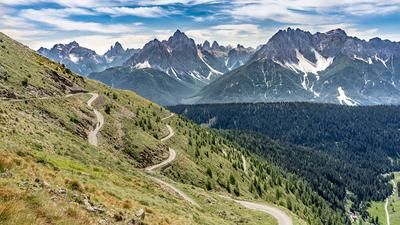
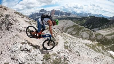
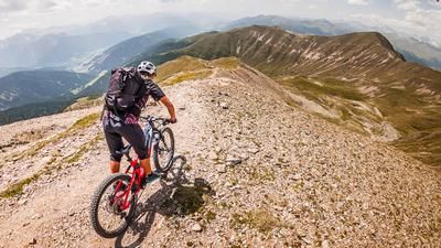
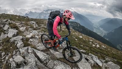
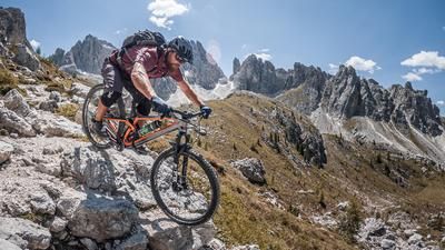
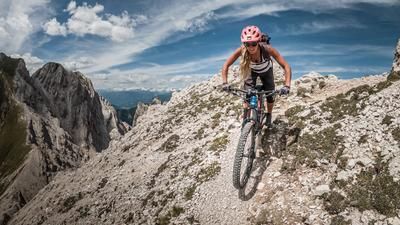
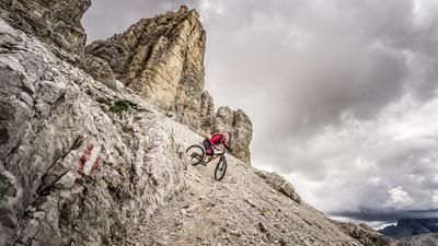
Then the descent begins. From the summit, the trail leads past the roped section at S2+, with occasional S3 sections. The trail has been very well maintained in recent years and thus offers a smooth descent route with plenty of panoramic views. Above the Plätzwiese alpine hut, you cross the ascent trail again and then follow the World War I military trail, which features more challenging climbs up to the Strudelkopf Saddle. There, the next descent begins on Sentiero 34, also a military trail from World War I, which features several hairpin turns and some very exposed sections. The difficulty is rated S2, with some sections at S3; the descent is generally consistent, though only the final stretch allows for very smooth riding. You then reach the Höhlensteintal valley and ride along the old railroad right-of-way, past Lake Dürrensee, back to the starting point.
Conclusion: A tour with impressive panoramic views that, due to its popularity, is best planned outside of weekends and vacation periods.
Map & GPX-Track
The map is only available to Ride subscribers.
The Ride-Subscription is available at ride-mtb.com/abo
.
Details of the tour
26 km
1560 m
1560 m
1403 above sea level
2777 above sea level
1 day
Schluderbach
Schluderbach
3834
limited
More information
More tours nearby















User comments (0)

About the author: Martin Depauli
Note: This content has been automatically translated from German. Please report any incorrect translations.