

Hinterbergkofel - Westvariante
Description
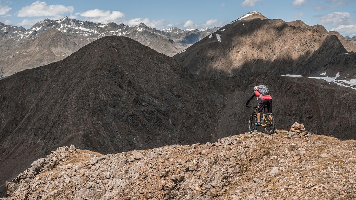
The tour begins in South Tyrol at Lake Antholz. From there, the old Vallo Alpino military road climbs steadily uphill to the Staller Saddle. There, several old military buildings from World War II and the impressive natural landscape featuring Lake Obersee dominate the view. Next, you’ll shoulder your mountain bike and carry it from 2,000 meters above sea level to 2,727 meters. While there are sections where you can ride, you should still plan for 700 meters of elevation gain that will require carrying your bike. At the top of the ridge, views open up from the Grossglockner and Grossvenediger all the way to the Dolomites.
The descent runs from the summit back to the Staller Sattel along the ascent route, ranging from S2 to S3 difficulty. You should be proficient in the kick-turn technique, as the switchbacks cannot be navigated without proper technique. The trail is eroded in places, so choosing a good line is important. From the Staller Sattel, the trail sections become smoother, and the route descends at an S1 to S2 difficulty level back to Lake Antholz.
Note: The route is located on Austrian territory and leads over routes that are not approved for mountain bikers. Riding this route on a mountain bike is the responsibility of each individual, in full awareness of the legal situation.
Map & GPX-Track
The map is only available to Ride subscribers.
The Ride-Subscription is available at ride-mtb.com/abo
.
Details of the tour
15 km
1010 m
1010 m
1660 above sea level
2662 above sea level
1 day
Antholzer See
Antholzer See
3749
not suitable
More information
No bike shops are registered for this region. Registration as a partner takes place here.
More tours nearby















































User comments (0)

About the author: Martin Depauli
Note: This content has been automatically translated from German. Please report any incorrect translations.