

Hühnerspiel

Description
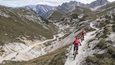
The route starts in Bruneck or in Dietenheim, the neighboring village to the north. The asphalt road to Oberwielenbach now forms the basis for the first 500 meters of ascent. The ascent continues unabated through the wild and romantic Wielental valley up to an altitude of 1850 meters above sea level. Turn left up to the Moaralm and then follow the 7B trail up to the Hühnerspiel ridge. On this last section, a 200-metre ascent has also crept into the day's program. Because even on this route: no pain, no gain!
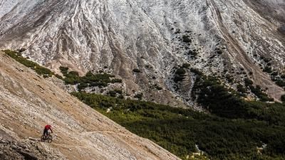
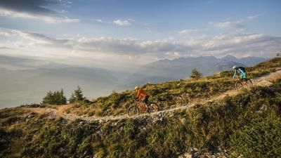
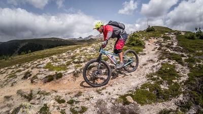
Finally, the culmination point is reached at an altitude of almost 2,200 meters above sea level - and thus also the starting point of the long descent down to Bruneck. 1400 vertical meters of singletrail are now on the agenda. You follow the Hühnerspiel ridge with impressive views of the Ahrntal valley and the Zillertal Alps behind it, as well as across towards the Dolomite towers of the Alta Badia region. The single trail (7B) with its alpine character becomes smoother as the distance increases and you finally reach Untertesselberg. Many people ride the Hühnerspiel tour from here down to Gais, which is a wonderful option, but we keep left onto the high trail over to Amaten and from here we take the direct route (4-path) to Dietenheim. After all, it's just a stone's throw back to the center of Bruneck from here.
Map & GPX-Track
The map is only available to Ride subscribers.
The Ride-Subscription is available at ride-mtb.com/abo
.
Details of the tour
28 km
1360 m
1360 m
836 above sea level
2184 above sea level
1 day
Bruneck
Bruneck
1983
well suited
More information
More tours nearby











User comments (1)

About the author: Thomas Giger
Note: This content has been automatically translated from German. Please report any incorrect translations.
Unfortunately a boring wide double track for the most part. It only gets a little more technical below Amaten.
The view at the top is wonderful, but you don't have to do the long ascent for the trail.