

Vogelgrand

Description
The tour starts at Lake Antholz. From here, the route follows a paved road along the military road to the Staller Sattel. The road was built during World War II, so several bunkers and barracks are still visible in the upper section. Once you reach the Staller Sattel, you shoulder your mountain bike and carry it toward the Hexenscharte, first along hiking trails 53 and 7, then continuing on trail 7A, steadily uphill to the Vogelgrand at 2,277 meters above sea level. The high-alpine setting and the surrounding mountains, such as the Magerstein, provide breathtaking views. Once at the top, the highest point is almost within reach, and you’ve already climbed about 600 meters in elevation.
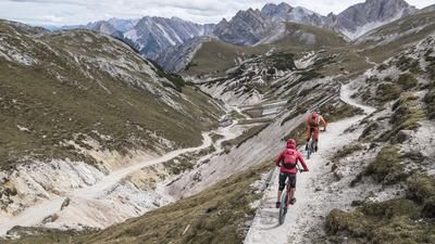
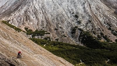
Then the descent begins. With a mix of S2 and S3 sections—and in some places, challenging key sections at the S3+ level—the route descends steadily toward the valley across granite, sand, and forest floor in the typical style of this region. Shortly after the summit, the view opens up once again to Lake Antholz and Lake Obersee at the Staller Sattel; however, this detour is a must. Past the Steinzger Oberalm, several prominent key sections await, along with steps and scree fields. With varying difficulty, the descent continues all the way down until the tour concludes at Lake Antholz.
Map & GPX-Track
The map is only available to Ride subscribers.
The Ride-Subscription is available at ride-mtb.com/abo
.
Details of the tour
10 km
630 m
610 m
1656 above sea level
2252 above sea level
1 day
Antholzer See
Antholzer See
3761
not suitable
More information
More tours nearby














User comments (0)

About the author: Martin Depauli
Note: This content has been automatically translated from German. Please report any incorrect translations.