

Eisbruggjoch - Pfunders

Description
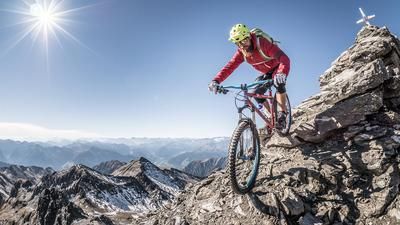
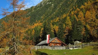
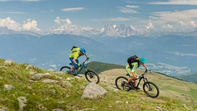
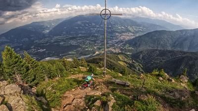
The route starts just below Pfunders at the hamlet of Schaldern. Here, the route initially winds its way up the main road on asphalt, and later up the access road towards Gampiel Alm. At around 1700 meters above sea level, the change from gravel to asphalt begins and rides on a moderate gradient up to the Gampiel Alm (2047 meters above sea level). Here you already have a view of the Dolomites and the mountains of the main Alpine ridge. The route then continues towards Eisbruggalm (2154 meters above sea level), briefly downhill and then on a moderate incline. From the Eisbruggalm, the pedaling ends. Here, the bike is pushed or carried up the Pfunderer Höhenweg with the number 13 to the Eisbruggjoch. Once you reach the pass, you are greeted by the Edelrauthütte (Eisbruggjochhütte) and a breathtaking mountain panorama. The ascent to the Eisbruggsee lake is a highlight here.
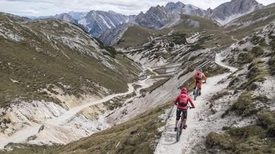
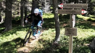
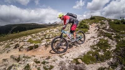
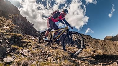
The downhill also runs along the 13er Pfunderer-Höhenweg towards Eisbruggalm on difficulty levels S2 to S3. Concentration is required here, as the granite slabs allow for few mistakes. At the Eisbruggalm there is another trail cutter. This then rides onto the feeder trail to the Gampiel Alm. The next section of the single trail begins at the Gampiel Alm. At difficulty level S2, the trail leads to the agricultural areas. Here you then briefly take an old feeder or forest path and finally end up back on a historic singletrail, which spits you out onto asphalt in Pfunders. The route then continues along a valley trail on difficulty level S1 back to Schaldern.
Map & GPX-Track
The map is only available to Ride subscribers.
The Ride-Subscription is available at ride-mtb.com/abo
.
Details of the tour
28 km
1595 m
1595 m
1026 above sea level
2530 above sea level
1 day
Fundres
Fundres
2427
not suitable
More information
More tours nearby






















User comments (0)

About the author: Martin Depauli
Note: This content has been automatically translated from German. Please report any incorrect translations.