

Seefeldspitze

Description
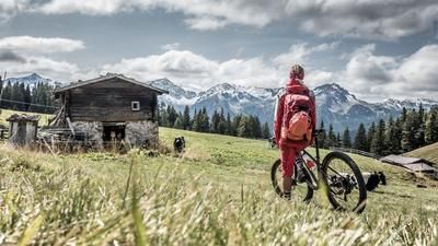
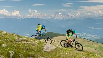
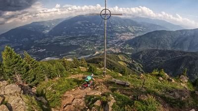
The tour starts in Mühlbach in the direction of Vals. The cycle path along the Vals valley is picturesque and ends directly in Vals, where you can take your first breather. If you want to shorten the tour, you can take a local cab shuttle from Mühlbach to Vals. The route continues to the Fane-Alm at 1700 meters above sea level, where a short stopover is a must - the delicacies served here are more reminiscent of a paradise than an alpine hut. After some refreshments, the route continues towards the Stin-Alm and then on to the Tschiffernaunalm at 2216 meters above sea level. The next 600 meters in altitude are covered by pushing or carrying towards the Seefeldspitze. The tree line is already behind you and an unparalleled mountain panorama opens up. To the left is the Steinbergscharte, for us the route continues to the right towards the Seefeldspitze at an altitude of 2715 meters above sea level. Once at the top, it is advisable to take a long break and enjoy a good snack on the summit. The view of the Dolomites and the rest of the Eastern Alps makes up for every ascent and provides inspiration for new tours as well as time to dream.
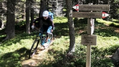
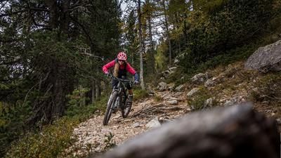
The daydreaming can continue on the 6er path and then on the 15er path towards the Wiesner Hütte, past the small, medium and large Seefeldsee lakes. The route is breathtaking but not easy to ride. In total on S2, in places on S4, it meanders down to the Pranter Stadelhütte and brings a broad smile to your face. The route then continues on a high-level trail towards Meransen out of the valley and from Meransen the route rides along the 11B path and the 12er-Lindenweg. This final section is enduro-heavy and rides all the way to Mühlbach. In total, around 2,000 Elevation loss on trail are destroyed and give the tour not only the character of a bathing tour with the three mountain lakes, but a full-fledged enduro tour. Once you arrive in Mühlbach, the small old town offers countless opportunities to stop for refreshments to round off the day in comfort.
Map & GPX-Track
The map is only available to Ride subscribers.
The Ride-Subscription is available at ride-mtb.com/abo
.
Details of the tour
34 km
1920 m
1920 m
770 above sea level
2679 above sea level
1 day
Mühlbach
Mühlbach
1977
not suitable
More information
More tours nearby








User comments (0)

About the author: Martin Depauli
Note: This content has been automatically translated from German. Please report any incorrect translations.