

Peitlerkofel-Umrundung

Description
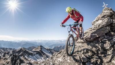
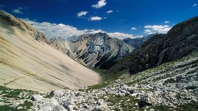
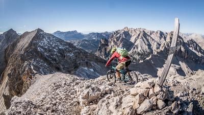
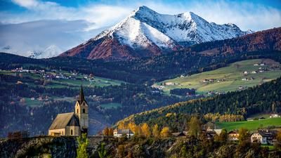
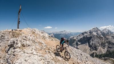
The Peitlerkofel. This 2875-metre-high Dolomite peak juts into the South Tyrolean sky like a threatening finger between the Plose and Geisler peaks. In 1967, at the tender age of 23, a certain Reinhold Messner from the Villnöss Valley made the first ascent of the direct north face of his local mountain. Eight years later, another South Tyrolean made his mark in the history book of alpinism: Heini Holzer, a chimney sweep from near Merano and steep face skier. At 1.53 meters tall, Heini skied down the steep east face of the Peitlerkofel. Of course, you can't get to the summit on a mountain bike. But if you circumnavigate the north-western pillar of the Dolomites, you can experience it from all perspectives - including the north face with the Messner guide and the steep east face descent. The south-facing traverse to the Gömajoch is one of the biking highlights of the Dolomites - and the route is one of the most ingenious in South Tyrol!
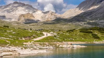
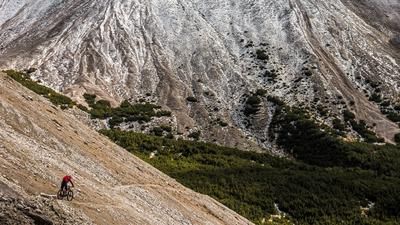
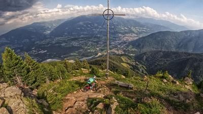
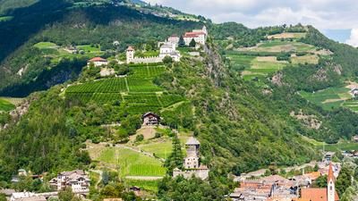
The tour starts in St. Peter in the Villnöss Valley. Via Reinhold Messner's home village of St. Magdalena to the Waldschenke. Continue into the valley on trail no. 33 to the Zanser Alm and via trails no. 36, 35 A and 35 to the Gampenalm and on to the Schlüterhütte hut, which can be seen from afar. After a well-deserved break, you struggle up another 50 meters to the Kreuzkofeljoch, perhaps one of the most beautiful viewpoints in South Tyrol. First following trail no. 35, then later on a road and finally again on a trail, you cross the entire southern flank of the Peitlerkofel. Once you reach the cross of the inconspicuous Gömajoch, you descend steeply to the north and follow trails no. 8B and 8A to the Würzjoch. Via state roads 29 and 30, you soon branch off onto gravel again. Pass the Enzian and Edelweiss huts and briefly return to the SS 29 to Russi's bridge and return to St. Peter via the SS 163 and paths 11, 11A and 32.
Notes:
- E-mountain bike: with a second battery or recharging at the Schlüterhütte, a fantastic e-MTB tour!
- It is possible to ride from the Kreuzkofeljoch on a beautiful trail to the Peitlerscharte and then directly through a steep gully down to the Würzjoch road. This section is spectacular but very challenging. There are also usually a lot of pedestrians here.
Map & GPX-Track
The map is only available to Ride subscribers.
The Ride-Subscription is available at ride-mtb.com/abo
.
Details of the tour
42 km
1730 m
1730 m
1134 above sea level
2353 above sea level
1 day
St. Peter (Vilnöß)
St. Peter (Vilnöß)
1860
well suited
More information
More tours nearby




















User comments (0)
Note: This content has been automatically translated from German. Please report any incorrect translations.