

Piz di Zuber / Heiligkreuzkofel

Description
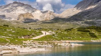
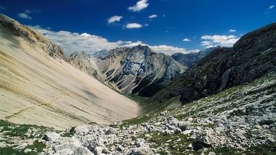
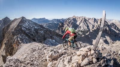
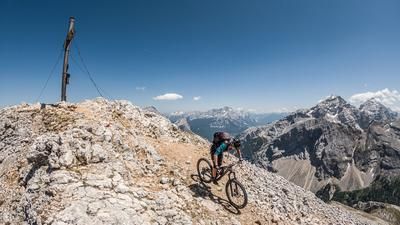
The tour starts at the well-known Rifugio Pederü (1548 meters above sea level). From here, the bike route is quite steep via the Kleine Faneshütte to the Lavarella hut (2050 meters above sea level). From here, the bike is only pushed up to the Kreuzkofelscharte (2612 meters above sea level). On the ascent, you are already immersed in a bizarre mountain landscape that is more reminiscent of the moon than a northern Italian province. Some time passes before you reach the Kreuzkofelscharte and come face to face with it with a big "Wow!". Directly on the edge of the ridge, where you descend over 1000 meters, you can see the Val Badia towards Badia Abtei and the Pöz-Odles Nature Park and the Odle Group. The route then continues a few more meters to Piz di Zuber (Piz Züber), the culmination point of the tour. An extension to the Heiligkreuzkofel is possible on foot from here and is recommended.
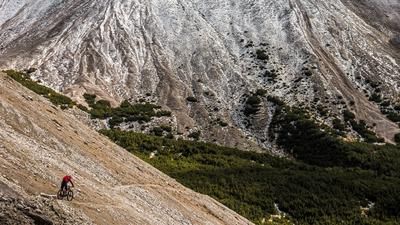
Then the descent is on the agenda: on a difficulty level S2 to S3, you take the entire Fanes-Senes area under your studs and descend to the Lavarella hut (2050 meters above sea level). Take the gravel road for a short time before tackling the Sentiero 7 trail cut-off to the Rifugio Pederü once again. The route also continues at difficulty levels S2 to S3, although there are always sections at S1 level that allow you to cool your brakes. Once you arrive at Rifugio Pederü, the route comes full circle and a cappuccino or Bira Moretti is already waiting for you.
Map & GPX-Track
The map is only available to Ride subscribers.
The Ride-Subscription is available at ride-mtb.com/abo
.
Details of the tour
24 km
1300 m
1300 m
1543 above sea level
2703 above sea level
1 day
Sankt Vigil
Sankt Vigil
2202
not suitable
More information
More tours nearby








User comments (0)

About the author: Martin Depauli
Note: This content has been automatically translated from German. Please report any incorrect translations.