

Antoniusjoch (Fanes-Runde)

Description
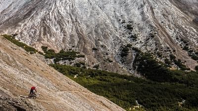
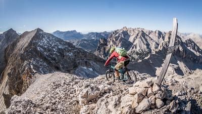
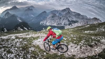
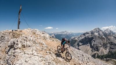
We set off with a cold start. The mountain railroad takes us from Abtei up to Lu Crusc without breaking a sweat and straight into the first descent on the way to the Antoniusjoch. The 15-person trail takes you down to the Wengen region, where you can still work up a sweat. From the valley floor, a steep gravel road rides up the Fanestal valley. At the tree line, the road turns into a trail and, for us, a pushing section. It's 400 meters up to the Antoniusjoch. The magnificent scenery with the Neunerspitze far up on the horizon to the right is a distraction. We reach the Antoniusjoch on foot and thus the entrance to the wonderful world of the Fanes high valley.
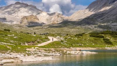
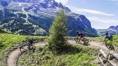
The singletrail descent to the Lavarella hut is a fun experience, initially riding through the gravelly terrain, then through the lush meadows down to the valley floor. This brings you to the Fanes high valley, through which you now cycle over the Limojoch and the Ju dal Ega and enjoy the magnificent Dolomite scenery. After the Col de Locia, the leisurely ride ends for the time being: a steep, challenging trail winds its way down the wild terrain. Basically rideable, but interspersed with steps and the occasional crisp hairpin bend, but a wonderful section for good riders. This is how you reach the valley of St. Kassian and cycle along the cycle paths back to Abtei.
Map & GPX-Track
The map is only available to Ride subscribers.
The Ride-Subscription is available at ride-mtb.com/abo
.
Details of the tour
32 km
1085 m
1770 m
1327 above sea level
2465 above sea level
1 day
Abtei
Abtei
1945
not suitable
More information
More tours nearby






User comments (1)

About the author: Thomas Giger
Note: This content has been automatically translated from German. Please report any incorrect translations.
We rode the trail today. The panoramic view is truly one-of-a-kind. The difficulty of the trail is probably subjective, but in my opinion, the description underestimates it. The climb to the pass is long and steep over a lot of loose scree. We ended up pushing our bikes for about 600 meters of elevation gain; in the upper section, it gets quite steep in places, and it’s better to carry the bike. It’s quite a slog. But if you’re up for it, you’ll be rewarded with an amazing descent. After that comes an easy section that’s once again scenically beautiful. The descent from the Col de Locia is a solid S3.
By the way, it’s not entirely true that the route goes straight into a descent from the cable car at the start. There’s still a 100- to 150-meter climb in between that’s too steep to forget. All in all, a worthwhile tour and truly an experience.