

Ju de Senes

Description
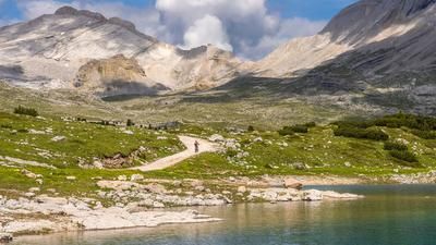
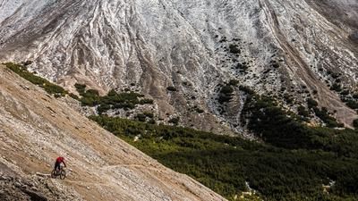
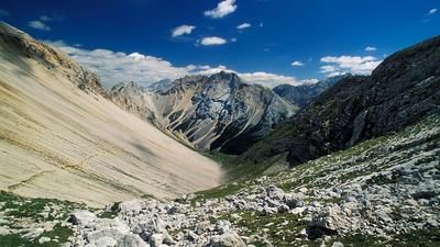
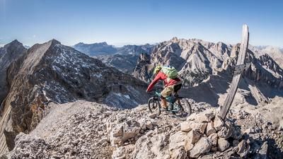
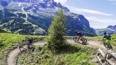
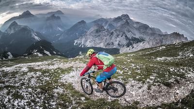
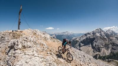
From the start in St. Vigil (1193m), you roll along a scenic asphalt road for around ten kilometers through the shady Rautal valley to Pederü (1548m). Directly behind the inn, the road becomes extremely steep without warning. The asphalt hairpin bends up to the Sennes-Reich are right on the edge of passability. A flat-angled enduro bike can give you the feeling of rolling over! The uphill spook lasts just under 400 meters, then you roll onto the plateau of Fodora Vedla. Your thighs are crying out for a break - and your throat for a cool down. If you're on an e-MTB, you can charge your battery here. The route continues much more leisurely than before up to the stately Sennes hut (2116m). Here, 99 percent of all bikers ride east to the beautifully situated Seekofelhütte or down towards Cortina. Real endurists, however, keep to the west at the Utia de Senes, ride to the Utia Munt de Senes (2176m) and push their bikes to the secret Dolomite pass called Ju de Senes (2519m). What follows from the top of the pass down to the main road in the Rautal valley is some of the best riding in the Eastern Alps for experienced enduro riders. At the top, the sandy and very steep serpentines are reminiscent of Mordor. Later on, you fly through mountain meadows like something out of a legend book. And after the fantastic descent, extremely challenging S4 passages await at the very end - when the Ciastlins stream forces its way through a canyon. All in all, a very difficult and lonely enduro tour for experts.
Map & GPX-Track
The map is only available to Ride subscribers.
The Ride-Subscription is available at ride-mtb.com/abo
.
Details of the tour
31 km
1420 m
1420 m
1188 above sea level
2518 above sea level
1 day
Sankt Vigil
Sankt Vigil
1974
well suited
More information
More tours nearby






User comments (2)
Note: This content has been automatically translated from German. Please report any incorrect translations.
The trail is officially closed! We rode the route yesterday as part of a short Dolomites crossing, coming from Cortina via the Senneshütte, without summiting. Starting at around 2,000 meters above sea level, there’s a fair amount of gravel riding that requires finding creative routes, and there are also a few trees blocking the way. The bridge is still there, though in fragments—and even beyond that, most of the trail has been washed away. Overall, it must have been a great trail at one time, and the scenery is definitely top-notch, but given the current situation, it’s not my cup of tea. Photos at: https://www.strava.com/activities/19282783837
It is indeed a long descent and, apart from the first 100 m and another 50-100 m at the waterfall, rideable throughout for reasonably solid riders.
The way up from the valley involves a lot of pushing or a lot of power or motor. Comfortable between the huts, then pushing/carrying from the last one to the transition.