

Lavinores

Description
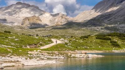
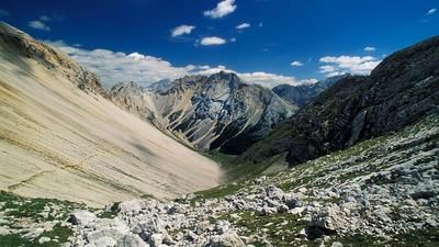
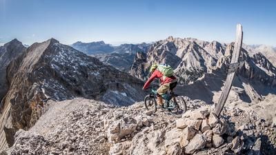
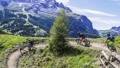
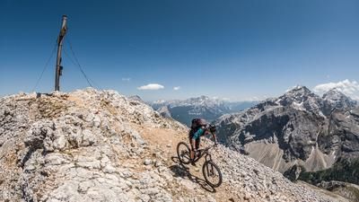
The starting point of the tour is the village of San Vigilio di Marebbe. Here you can enjoy an excellent cappuccino before the tour before getting on the saddle and pedaling. The route takes you comfortably along the road to the Pederü hut on asphalt, allowing you to immerse yourself further and further in the world of the Dolomites. After just one hour, it already feels like you've landed in a completely different world. From the Pederü hut onwards, it's all about not giving your calves a break and gritting your teeth. Up to Fodara Vedla it is extremely steep and gravelly. This is followed by a somewhat flatter path heading east to the summit of Lavinores. From an altitude of around 2100 meters, the bike has to be pushed or carried. From here, you can reach the summit in just over an hour and enjoy a fabulous panoramic view of the Grosse Tofana, the Hohe Geisl and the entire Sennes-Fanes area. The mountain is also perfect in the high season in July and August, as most hikers don't even know about this detour.
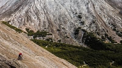
The downhill itself is at S2 to S3 level up to Fodara Vedla, whereby a short uphill should be included here in the direction of Sennesalm. From here, there is another downhill with a difficulty of S2 to S3 down to the Pederü hut. However, the last 100 vertical meters have to be covered again on the old military road from the First World War. From the Pederü hut, the entire valley leads back to the end of the valley on flowing S0 to S1 trails to San Vigilio. All in all, this adds up to a lot of trail kilometers. The tour itself is a real "treat" in an often overcrowded area and shows that there are still some untouched places in the Dolomites.
Map & GPX-Track
The map is only available to Ride subscribers.
The Ride-Subscription is available at ride-mtb.com/abo
.
Details of the tour
31 km
1155 m
1155 m
1234 above sea level
2393 above sea level
1 day
Sankt Vigil
Sankt Vigil
2043
limited
More information
More tours nearby






User comments (0)

About the author: Martin Depauli
Note: This content has been automatically translated from German. Please report any incorrect translations.