

Gitschberg

Description
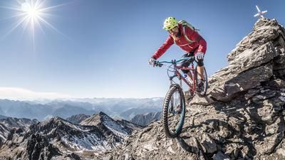
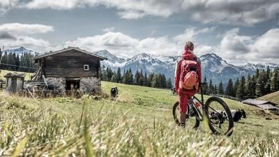
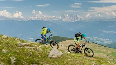
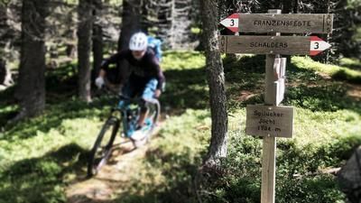
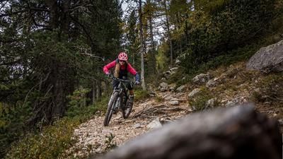
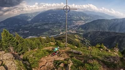
The starting point of the tour is Mühlbach, just north of Brixen. If you want to start in Bressanone/Brixen, follow the cycle paths past Sciaves/Schabs to get to Rio di Pusteria/Mühlbach. In Mühlbach, take the gondola lift to Meransen and change to the Nesselbahn at the top. The tour really gets going at 2100 meters above sea level. You roll along a gravel road to the Endereckeralm and then climb up to Klein Gitsch. The steep gravel road to Ochsenboden is a feat of strength, before you tackle the last section to the summit on a single trail. However, the Klein Gitsch is the first-class trail over the mountain ridge. Past the Moserhütte and finally via the Leitensteig trail, the route continues primarily on single trails, but also on individual sections of gravel road, down into the Vals valley. The Leitensteig to the village of Vals is particularly demanding and requires a solid riding technique. Finally, in Vals, you board a gondola for the third time of the day, this time the Jochtalbahn. Thanks to it, the summit of the Stoanamandl is reached with little effort. As with the Klein Gitsch, the summit is the starting point of a first-class singletrail descent over the ridge. Before the village of Spinges, there is another downhill section on a gravel road before heading down to Mühlbach on a crisp singletrail for the final section.
Map & GPX-Track
The map is only available to Ride subscribers.
The Ride-Subscription is available at ride-mtb.com/abo
.
Details of the tour
28 km
450 m
2380 m
764 above sea level
2239 above sea level
1 day
Mühlbach
Mühlbach
1873
well suited
More information
More tours nearby








User comments (1)

About the author: Thomas Giger
Note: This content has been automatically translated from German. Please report any incorrect translations.
I would have rated the riding technique as easier. On the Leitersteig you have to carry the steps down and up anyway. Unfortunately, you also lose a lot of altitude on forest/field paths, but you can buy the meters of altitude with the gondolas ;). The trail no longer exists at KM29. You have to cross the farm a little further down, then you can cross the meadow in the direction of the GPS track, have to fight your way through the forest for a short time and then get back to the old trail. It is then easy to ride again - but a few meters further down the trail is so overgrown that you have to ride across the meadow to the next road.....