

Scheibenberg

Description
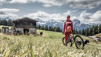
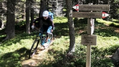
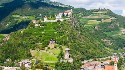
The starting point of the tour is Vahrn, just north of Brixen. You can reach the village on the signposted cycle paths. Then it's straight down to business with the steep ascent along the Schalderer Bach stream. The route rides along a gravel road, but there are still some short sections of pushing due to the steepness. This section is very scenic, but can also be bypassed on the mountain road to Schalders. The route continues up the mountain on asphalt, then changes to gravel and even rides downhill a little. Finally, you fight your way up to the Spilucker Jöchl (1794 meters above sea level). However, you have not yet completed the entire ascent, but first there is a nice section up and down on a single trail. Finally, you reach a gravel road, follow it uphill over two hairpin bends and then take the singletrail up to Scheibenberg (1925 meters above sea level).
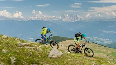
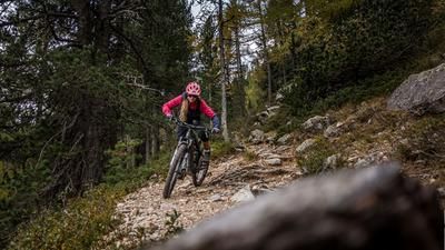
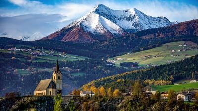
The inconspicuous summit is the starting point of the long descent back to Vahrn. You won't find any views up here, as the summit is in the middle of the forest. The great panoramic views across to the South Tyrolean Dolomites follow along the trail. This is initially very steep and a challenge even in dry conditions. However, it soon becomes flatter and leads down to Spiluck on super-passable, wooded terrain. The character changes here: the trail becomes rougher and rockier, but is still easy to ride. This is how you ride down to the village of Vahrn and roll back to Brixen on the cycle path similar to the ascent.
Map & GPX-Track
The map is only available to Ride subscribers.
The Ride-Subscription is available at ride-mtb.com/abo
.
Details of the tour
32 km
1455 m
1455 m
563 above sea level
1944 above sea level
1 day
Brixen
Brixen
2402
well suited
More information
More tours nearby









User comments (0)

About the author: Thomas Giger
Note: This content has been automatically translated from German. Please report any incorrect translations.