

Samberg (Villanderer Alm)

Description
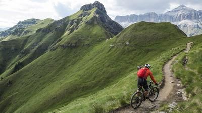
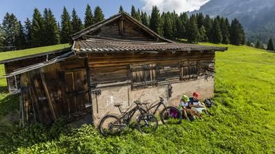
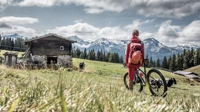
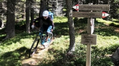
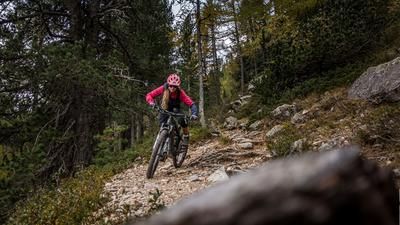
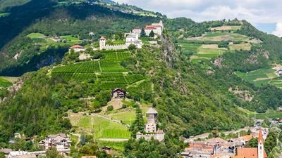
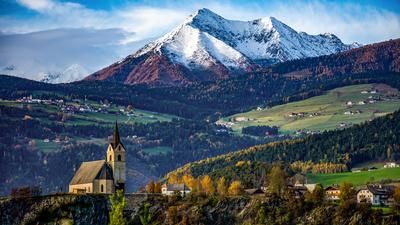
The route starts in Klausen, and immediately after the town center, the ascent begins. You climb up to Villanders on a road and then continue uninterrupted to the Villanderer Alm. The ascent rides entirely along small roads with a pleasant gradient. Eventually you reach the Gasserhütte hut with its small reservoir, which means you have almost completed the entire ascent. Over to Rinderplatz, a few more meters of ascent are necessary for an additional loop, because biking is prohibited on the trail along the lake and through the high moor (and there are too many walkers here anyway). It's worth stopping for refreshments here, either at the Gasserhütte or a little further up at the Almgasthof Rinderplatz. After refreshments, it's time for the descent. This begins at Samberg. The great single trail, sometimes fast and flowing, sometimes a little more challenging, leads through the wonderful pine forest over the ridge to the former ore tunnels. From here, you always follow the "Erzweg", passing the St. Anna chapel and reaching the next trail after a short stretch of gravel road at the Moar farm. This path (still signposted as Erzweg) finally leads down to the outskirts of Klausen, the last few meters into the village center then follow the winding district road.
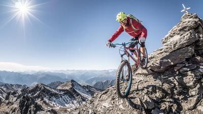
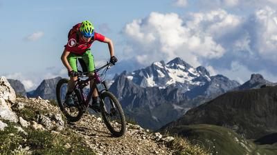
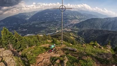
Conclusion: a great, varied but little-known descent with almost 1300 vertical meters of singletrail and a first-class panorama including a refreshment stop in exactly the right place.
Map & GPX-Track
The map is only available to Ride subscribers.
The Ride-Subscription is available at ride-mtb.com/abo
.
Details of the tour
28 km
1340 m
1340 m
528 above sea level
1844 above sea level
1 day
Klausen
Klausen
1878
well suited
More information
More tours nearby










User comments (1)

About the author: Thomas Giger
Note: This content has been automatically translated from German. Please report any incorrect translations.
At the beginning of the descent there is a lot of road/forest path, but later it is interesting and varied. The rope-insured stairs and the cross passage with railings are also worth mentioning.