

Radlseehütte

Description
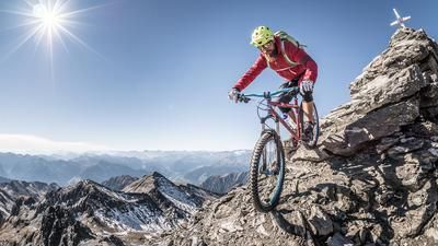
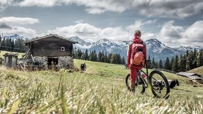
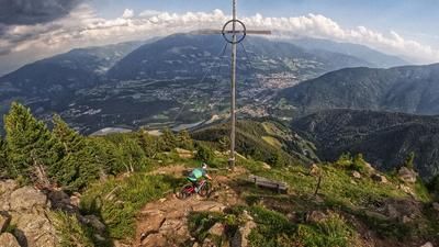
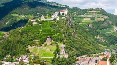
"Brixen is more than just the Plose! There are also countless single trail gems hidden to the west of the Eisack." So says Alex Resch, mountain bike guide and manager of the Hotel Krone in the heart of the idyllic old town. One of his tips: from the cathedral square, don't head east towards Plose, but west, up into the Sarntal Alps. A "lake destination" in the truest sense of the word: the Radlsee lake with the hut of the same name. It is enthroned in a prime location high above the Eisack Valley. Right opposite, the Plose mountain greets you. If you fancy a 360-degree panorama after your stop, scramble 150 meters up to the summit cross of the Königsanger (2436 metres above sea level), which can be seen from afar. At the top of the panoramic table, South Tyrol shows itself from its most beautiful side: Plose, Monte Cristallo, Schlern, Langkofel and Plattkofel, Marmolada and, and, and.
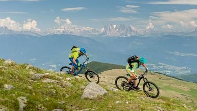
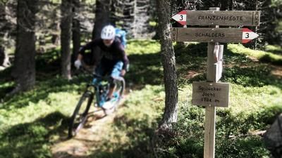
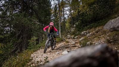
The 2000-metre altitude tour starts at the cathedral square in Brixen. Cycle past the tourist information office in a westerly direction and follow trail no. 8 to Tils. Ride uphill on the road to Gereuth and turn left onto gravel path number 9. Cycle past Stilums to Oberschnauders and follow trail no. 17A on the right to the parking lot at the Garner Wetterkreuz. From here, take trail no. 10 and later trail no. 14A to the Brugger Schupfe. From here, follow trail no. 14 to Munschegg and continue on trail no. 10 to Radlsee. The Radlseehütte is open from the end of May to the end of October and offers the best places to stop for refreshments and overnight accommodation and the finest panoramic views. After the obligatory stop on the sun terrace the great trail number 8, a sometimes S2 single trail with a few blocked S3 sections, leads downhill. You come to a road and follow it downhill. Via the Pfeffersberg you return to Tils via trails no. 8 and 8A. At the end of Tils, follow the markings number 8-10 down to the Eisack and cycle back to your destination in Brixen on the familiar route.
Notes:
- If you want to shorten the ascent with a shuttle, you can drive up to the parking lot just above Garn
- E-mountain bikers need a spare battery due to the high altitude .
- A bike sign has been in place at the turn-off above the Glanger Kas Alm since 2020. This concerns the trail up to the Radlseehütte, where the bike has to be pushed most of the time anyway.
Map & GPX-Track
The map is only available to Ride subscribers.
The Ride-Subscription is available at ride-mtb.com/abo
.
Details of the tour
31 km
1915 m
1915 m
569 above sea level
2274 above sea level
1 day
Brixen
Brixen
1843
well suited
More information
More tours nearby








User comments (1)
Note: This content has been automatically translated from German. Please report any incorrect translations.
On the descent trail, there is also a no cycling sign at the entrance to the most difficult section (1,780 m); the section can be bypassed on a steep cart path. This also applies to the final section via the 'Kreuzweg'; bypass possible on a gravel path.