

Bramstaller (Schafkopf)

Description
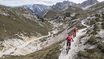
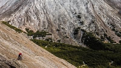
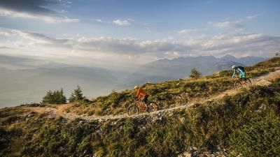
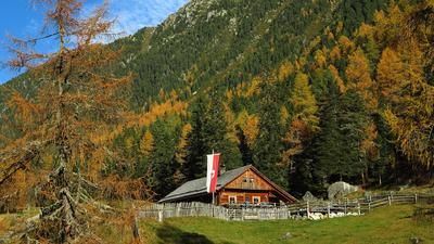
The route starts in Gais at the entrance to the Ahrntal. From here, the route initially winds its way uphill on long serpentines via the Gaislercher Höfe farms and Gasthof Huber on asphalt. The route continues up the Mühlbachtal valley to the Unterwanger Alm at almost 2000 meters above sea level, where the surface changes to gravel. A fabulous panorama opens up when you immerse yourself in the beauty of the Rieserferner-Ahrn Nature Park and leave the rest of the world in the background. From the Oberwanger Alm, pushing and carrying is the order of the day. The bike is carried about 600 meters up to the summit of the Bramstaller (Schafkopf). The view is fabulous and typical of the region. Grassy, high alpine mountains combined with rugged rock faces and partial views of the Dolomites combine pretty much everything a biker's heart desires. The same goes for the downhill. The route descends steadily on difficulty levels S3 to S4. Passing the Winterstall Alm, this riding technique massacre ends at almost 1900 meters above sea level. From here, the trail suddenly becomes easier. At difficulty level S2, in places S1, you surf it back to the starting point in Gais. Especially beautiful in autumn, when the forests have changed color and peace has returned to South Tyrol.
Map & GPX-Track
The map is only available to Ride subscribers.
The Ride-Subscription is available at ride-mtb.com/abo
.
Details of the tour
31 km
1760 m
1760 m
850 above sea level
2508 above sea level
1 day
Gais
Gais
2393
not suitable
More information
More tours nearby











User comments (1)

About the author: Martin Depauli
Note: This content has been automatically translated from German. Please report any incorrect translations.
I rode the tour in summer 2021. What needs to be made clear: There is no flow between the summit and the gravel road entrance above the Mühlbacher Badl! The tour is only for bikers who want to test the limits of what is possible.