

Eisbruggjoch – Nevesstausee

Description
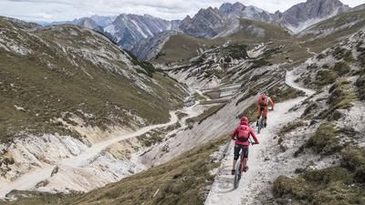
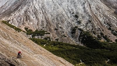
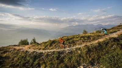
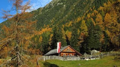
The route starts in the Mühlwaldertal valley. In Unterlappach at the widening of the river, the uphill begins on asphalt and rides at a moderate gradient to the Nevesstausee lake. The Nevesstausee (1856 meters above sea level) looks like something out of a Hollywood movie, nestled between the surrounding 3000-metre peaks. Especially in the fall, the landscape is reminiscent of Canada rather than South Tyrol. The lake is then crossed over the wall and from the Gemeindealm the 26er Neveser Höhenweg is taken, followed by the uphill to the Eisbruggjoch. These altitude meters have to be completed by pushing or carrying. Even on the ascent, you realize that the descent is probably not so clear in some places. Some key sections are already clearly visible. First, however, you reach the highest point of the tour: the Eisbruggjoch. At 2584 meters above sea level, there is an alpine flair, a rich panorama and good food. The Edelrauthütte (Eisbruggjochhütte) welcomes guests with traditional dishes. After refreshments, the ascent route leads back downhill. The difficulty level up to the lake is S3. Full concentration and good line choice are required to master the descent without making mistakes. At the Nevesstausee lake, the transfer to the Enzianhütte is taken and then the 24er hiking trail towards Lappach. There are still a few trail sections of difficulty S2 to tackle here before you finally arrive back at the starting point of the tour.
Map & GPX-Track
The map is only available to Ride subscribers.
The Ride-Subscription is available at ride-mtb.com/abo
.
Details of the tour
19 km
1240 m
1240 m
1333 above sea level
2526 above sea level
1 day
Lappach
Lappach
2426
not suitable
More information
More tours nearby











User comments (0)

About the author: Martin Depauli
Note: This content has been automatically translated from German. Please report any incorrect translations.