

Schönbichl

Description
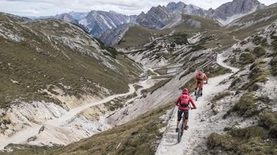
The route starts in the hamlet of Dietenheim Teodone. From here, you pedal up the side road via Amaten towards Unter-Tesselberg on asphalt at a relatively leisurely pace. From Unter-Tesselberg onwards, the tone changes. The route is extremely steep on gravel towards Tesselberger Alm at almost 2050 meters above sea level. From here, the rideable part is over. From the Tesselberger Alm, the bike is pushed on towards Hühnerspiel. The route continues in this manner for the next 300 meters up to Schönbichl at just under 2500 meters above sea level. Once you reach the summit, you can enjoy a fabulous panorama on a clear day. Above the tree line, you can see as far as the Dolomites and the mountains on the main Alpine ridge.
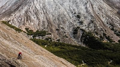
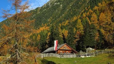
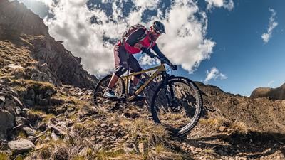
In the upper section, the downhill runs along the ascent trail and up to the Hühnerspiel, there are sections with a difficulty of S2 to S3 in places. However, you should concentrate on the trail, even if the view tempts you to let your gaze wander again and again. From the Hühnerspiel, the trail becomes easier and disappears into the vegetation line at around 2000 meters above sea level. Here you feel like you're in a forest from "The Lord of the Rings". On a wonderful forest floor, you surf along the entire ridge, briefly cross the ascent trail and continue to meander in this manner to the starting point in Dietenheim. All in all, an impressive, albeit not too short tour, which is an absolute highlight, especially in the fall.
Map & GPX-Track
The map is only available to Ride subscribers.
The Ride-Subscription is available at ride-mtb.com/abo
.
Details of the tour
26 km
1530 m
1530 m
864 above sea level
2374 above sea level
1 day
Bruneck
Bruneck
2379
not suitable
More information
More tours nearby













User comments (0)

About the author: Martin Depauli
Note: This content has been automatically translated from German. Please report any incorrect translations.