

Hexenscharte

Description
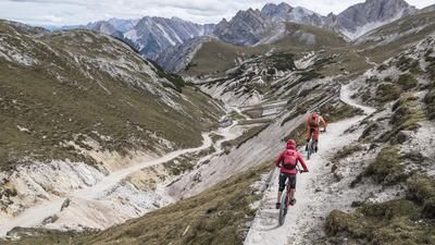
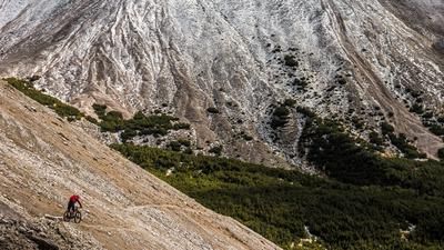
The route starts in Niederrasen near Olang. From here, the cycle path winds its way across the Olang reservoir, past Welsberg and into the Gsieser Tal valley, before turning off shortly before St. Martin towards the Ochsenfelder Hütten huts and the Leachalm. Those who want to use a shuttle can do so as far as St. Martin in the Gsieser Tal valley and save a few kilometers and meters in altitude. The uphill from St. Martin towards the Ochsenfelder Hütten is mostly on gravel with a moderate gradient. Shortly before this, however, you turn off towards the Kapaire Alm and wind your way up the 10-metre hiking trail towards the Hexenscharte (2578 meters above sea level). Sometimes you have to pedal, sometimes you have to push your bike. Below the Hexenscharte, you are immersed in a bizarre mountain world. Massive mountain ridges frame the basin and point the way to the saddle. Once you reach the saddle, the panorama is superb. Nestled between Roter Wand and Regelspitze, close to the state border with the Austrian East Tyrol, you are visually on top.
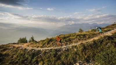
The descent is also on top. A path from the Second World War from the time of the Vallo Alpino leads to the Staller Sattel and winds its way down steadily on difficulty S2 to S3 in places. However, concentration is required, as the route is somewhat washed out with stones in places and an ideal line must be chosen. From the Staller Sattel, you pass bunkers and positions from the Second World War until you reach Lake Antholz. You circle the lake and then take the Franzosensteig trail before finally reaching the cycle path at the bottom of the valley. Cycle back along this to Niederrasen, where this tour comes to an end.
Map & GPX-Track
The map is only available to Ride subscribers.
The Ride-Subscription is available at ride-mtb.com/abo
.
Details of the tour
57 km
1670 m
1670 m
1008 above sea level
2612 above sea level
1 day
Olang
Olang
2368
limited
More information
More tours nearby












User comments (1)

About the author: Martin Depauli
Note: This content has been automatically translated from German. Please report any incorrect translations.
Long ascent and descent - relatively few trails.