

Sambock

Description
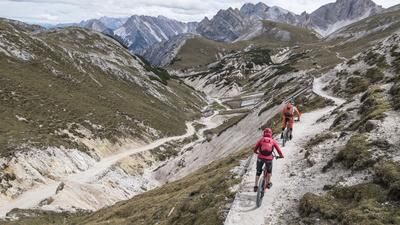
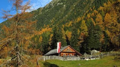
The route starts in the small village of St. Georgen (820 meters above sea level) near Bruneck. From here, you wind your way initially on asphalt and later on gravel up to the Pitzinger Unterhütten (1873 meters above sea level). The uphill itself is a true idyll. The larch forests alone, as well as the occasional panoramic views, make the altitude meters just melt away. From the alpine pasture, the bike is pushed or carried up to the Platte hill and then up to the Sambock. The summit (2400 meters above sea level) is a grassy mountain.
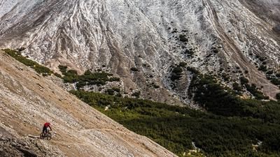
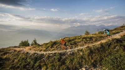
The descent leads over an eternally long ridge on a lush flow trail and offers pure panoramic views of the Dolomites. The elevation is a real highlight in the Brunico region, especially in autumn when nature is in full color. The Pfunderer Höhenweg trail takes you to the Platte on difficulty level S1 and the 66er trail via Kofler am Kofl back to the starting point. In the meantime, the difficulty of the trail increases to S2, in places S3, but this is typical for the region. In the larch forests, everything is included with root passages, rock gardens and hairpin bends. Around 1500 Elevation loss are destroyed here and with a big grin on your face when you reach the valley floor.Map & GPX-Track
The map is only available to Ride subscribers.
The Ride-Subscription is available at ride-mtb.com/abo
.
Details of the tour
26 km
1550 m
1550 m
825 above sea level
2334 above sea level
1 day
Bruneck
Bruneck
2434
limited
More information
More tours nearby











User comments (0)

About the author: Martin Depauli
Note: This content has been automatically translated from German. Please report any incorrect translations.