

Mühlbach-Trails

Description
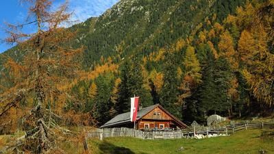
The starting point of the initial ascent is Uttenheim in the Ahrntal valley. The tour can easily be started from the villages in Taufers or from Gais or Bruneck, and you then cycle to Uttenheim on the cycle path. The ascent from Uttenheim to Mühlbach rides along an asphalt road, with another short descent just before the village. Leave Mühlbach on the left and continue up to the small reservoir and pass the Badl mountain inn. A little later, keep left and change sides of the valley. Climb up the gravel road until you cross the 6er trail. The highest point is reached at this less spectacular point. If you want to extend the tour a little, take the gravel road all the way back to the wild and romantic Mühlbach valley. In this case, however, the return journey is back on the ascent route, as the few single trails in the upper part of the valley are not worthwhile for mountain bikers.
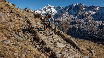
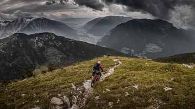
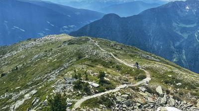
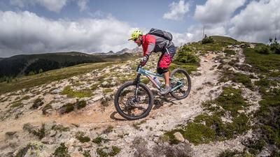
The descent begins on the 6er-Weg, a wonderfully flowing single trail that rides directly into the village of Mühlbach. Now you roll along the road over to the Bichlerhof farm, keep right here towards the farm and then follow the fence downhill a little. A small forest road begins here and a left-hand serpentine follows shortly afterwards. A single trail begins at the bend, an old hiking trail that is smooth and fun to ride. It winds through the forest and finally joins a gravel road. Follow this downhill, which soon becomes a singletrail, and in a mixture of trails and short gravel sections you reach the wooded area near the industrial zone of Gais. There are a myriad of small paths here, each more beautiful to ride than the next. Finally, at the bottom of the forest, you find yourself on the cycle path, which you follow back to Uttenheim.
Map & GPX-Track
The map is only available to Ride subscribers.
The Ride-Subscription is available at ride-mtb.com/abo
.
Details of the tour
23 km
1130 m
1130 m
832 above sea level
1861 above sea level
1 day
Uttenheim
Uttenheim
1978
well suited
More information
More tours nearby



















User comments (0)

About the author: Thomas Giger
Note: This content has been automatically translated from German. Please report any incorrect translations.